Export Processing Zone · North Korea
Songnim Export Processing Zone Active
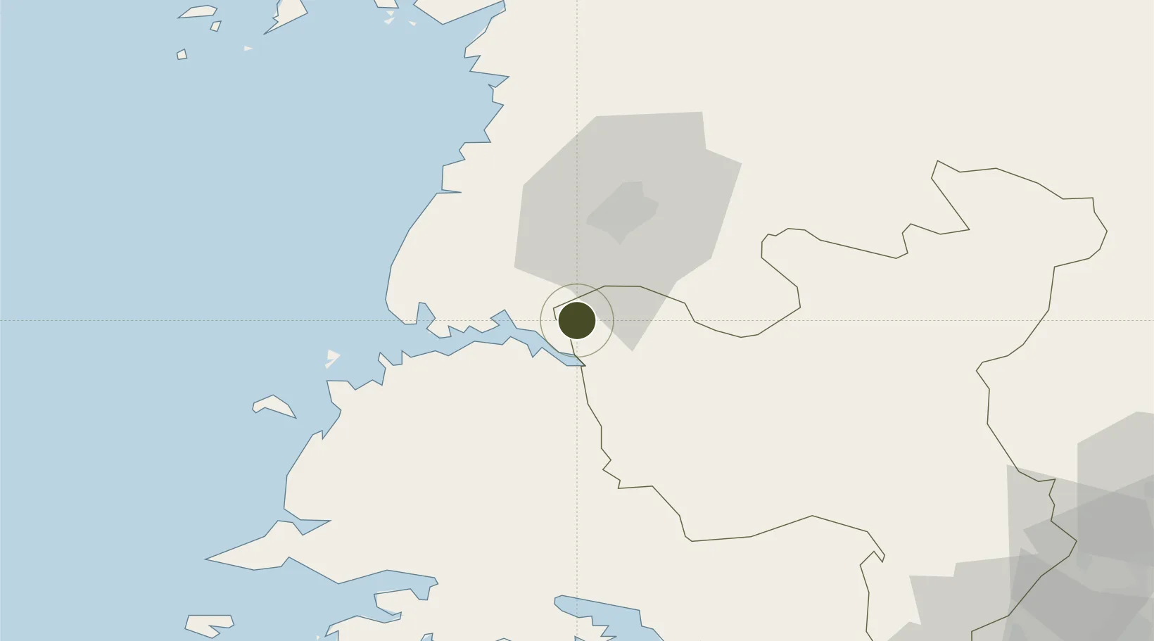
38.7489°, 125.6365°
200 ha
Zone area
2.4 km
Nearest port
17.0 km
Nearest airport
Gateway access
Zone profile
Zone type
Export Processing Zone
Region
Hwanghae-bukto
Status
Active
Management
Public
Operator
Ministry of External Economic Relations
Legal framework
Labour Regulations for Foreign-Funded Enterprises in FETZ (Adopted as decision NO.8 of the Administration Council of the DPRK dated on December 3, 1993) The Law of the Democratic People's Republic of Korea on the Rason Economic and Trade Zone; North Korea
Location
Nearby Logistics Neighbours
Ports
- 1Kyomip'o2 km
- 2Nampo21 km
- 3Haeju Hang84 km
- 4Wonsan164 km
- 5Inchon166 km
Airports
- 1Hwangju Airbase17 km
- 2Uthachi Highway Strip Airport24 km
- 3Pyongyang Sunan International Airport53 km
- 4Kwail Air Base65 km
- 5Sunchon Air Base77 km
Cities
- 1Songnim5 km
- 2Panjang56 km
- 3Samcha do108 km
- 4Yonggipo120 km
- 5Yeonpyeongdo122 km
DatabookThe Record of Consolidated Knowledge
North Korea beyond logistics?