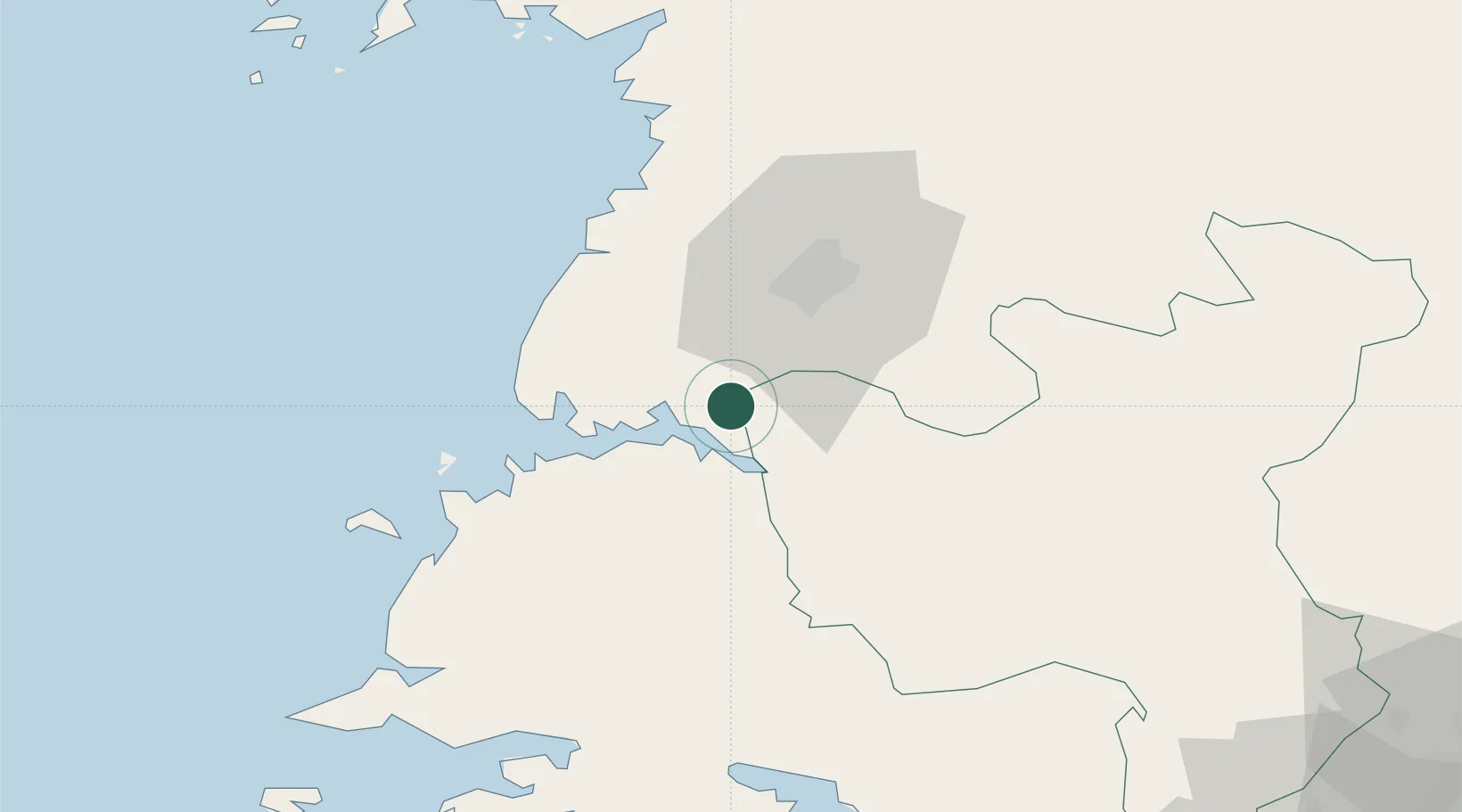
UN/LOCODE hub · North Korea
KPSGN

Songnim

38.7667°, 125.5833°
1
Transport functions

Transport Functions

Port
Songnim is also a profiled seaport →
UN/LOCODE

Hub Profile

Place type
Populated place
GeoNames
Region
South Hwanghae
GeoNames
Time zone
Asia/Pyongyang
GeoNames
Elevation
83 m
GeoNames

Location

Location of KPSGN
Natural Earth 10m (public domain) · South Hwanghae · KPSGN · 38.77, 125.58GoogleOSMYandex

Nearby Logistics Neighbours

Cities
  1. 1Panjang53 km
  2. 2Samcha do103 km
  3. 3Yonggipo118 km
  4. 4Yeonpyeongdo125 km
  5. 5Panmoonjeom136 km
Nearest neighbours — logibook spatial index (haversine) over the source coordinates
Ports
  1. 1Nampo17 km
  2. 2Haeju Hang86 km
  3. 3Wonsan167 km
  4. 4Dandong170 km
  5. 5Inchon171 km
Nearest neighbours — logibook spatial index (haversine) over the source coordinates
Airports
  1. 1Hwangju Airbase22 km
  2. 2Uthachi Highway Strip Airport26 km
  3. 3Pyongyang Sunan International Airport51 km
  4. 4Kwail Air Base62 km
  5. 5Sunchon Air Base77 km
Nearest neighbours — logibook spatial index (haversine) over the source coordinates
DatabookThe Record of Consolidated Knowledge
North Korea beyond logistics?
Browse databook

All Sources

LocationsUN/LOCODE
UN/LOCODE — free
Portsthe NGA World Port Index
Public domain (US gov)
AirportsOurAirports
Public domain
Trade Zonesthe World Bank SEZ database
CC BY 4.0
Trade ZonesOpen Zone Map
CC BY
← North Korea locations