Medium airport · North Korea
Haeju AirfieldKP-0002
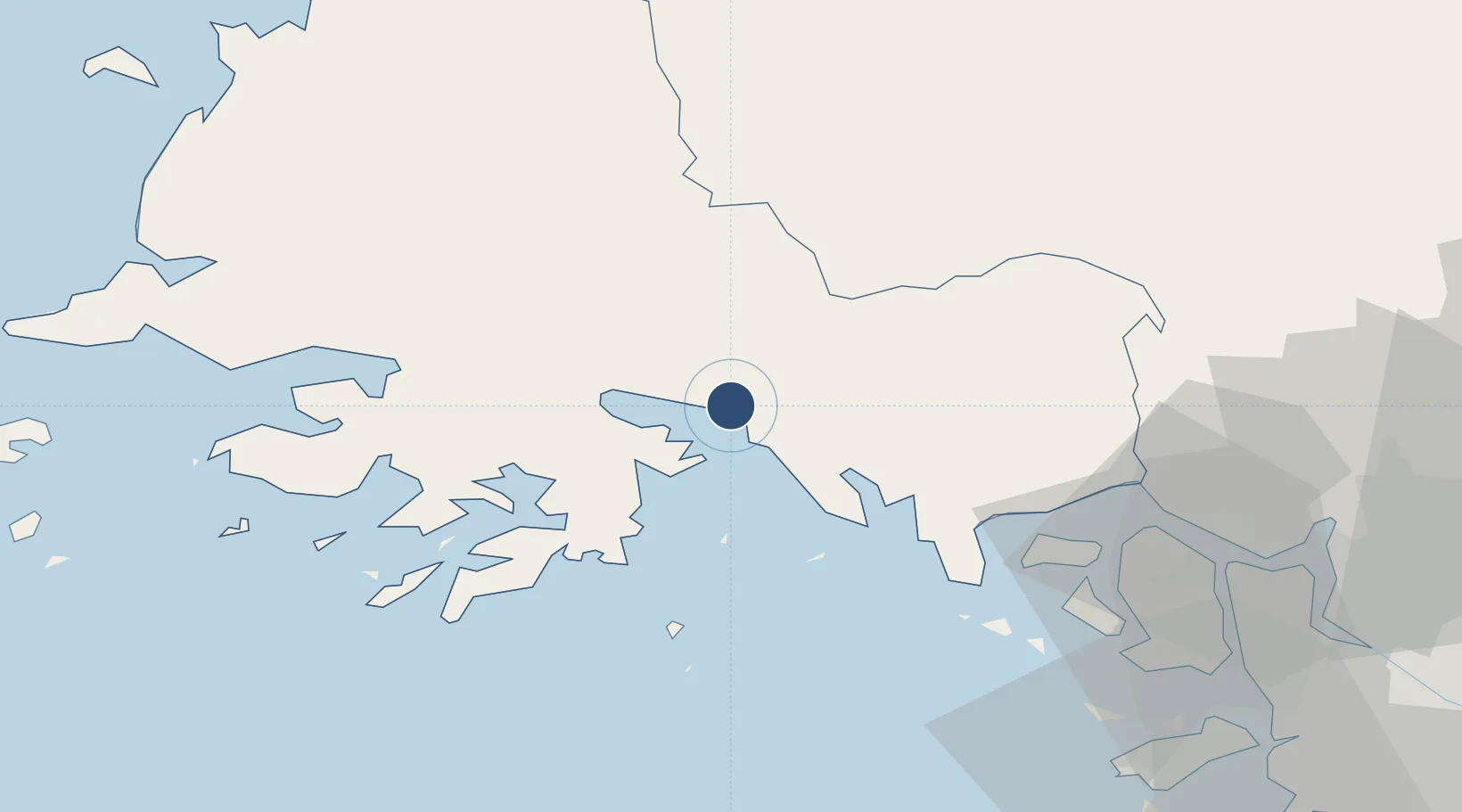
38.0074°, 125.7773°
6,200 ft
Longest runway
1
Runways
131 ft
Elevation
Runway & Layout

Runways · 1
| Runway | Dimensions | Surface | True heading | Lit |
|---|---|---|---|---|
| 13/31 | 6,200 × 289ft | Grass | — | — |
Airport Specifications
Airport class
Medium airport
Scheduled service
No
Runway surface
Grass
Served city
Haeju
Location
Nearby Logistics Neighbours
Airports
- 1Hwangju Airbase72 km
- 2Kwail Air Base81 km
- 3Incheon International Airport84 km
- 4Uthachi Highway Strip Airport101 km
- 5Koksan 2 Highway Strip102 km
Cities
- 1Yeonpyeongdo40 km
- 2Ganghwa-gun/Incheon69 km
- 3Panjang82 km
- 4Panmoonjeom83 km
- 5Songnim86 km
Ports
- 1Haeju Hang7 km
- 2Kyomip'o82 km
- 3Nampo86 km
- 4Inchon95 km
- 5Daesan Hang123 km
DatabookThe Record of Consolidated Knowledge
North Korea beyond logistics?