Channel & Berth Profile
Pilotage, Tugs & Services
Pilotage compulsoryYES
Pilotage availableYES
Tug assistanceYES
Shore powerYES
Potable waterYES
Diesel bunkersYES
MedicalYES
Garbage disposalNO
Facilities & Capabilities
Container—
Ro-Ro—
Liquid bulk—
Dry bulk—
Oil terminal—
Break bulk—
Dry dockNO
RepairsNO
BunkeringYES
Rail linkYES
Dangerous cargo—
ISPS security—
Harbour Specifications
Harbour size
Small
Harbour type
River (Natural)
Shelter
Fair
Water body
Korea Bay; Yellow Sea; North Pacific Ocean
Tidal range
3 m
Pilotage
Yes
Liner Connectivity
7.4
PLSCI
Port Liner Shipping Connectivity Index for Nampo, as published by UNCTAD for the latest available quarter. Higher values indicate stronger scheduled liner-shipping integration.
Shown relative to the highest per-port PLSCI in the dataset (1,657.9).
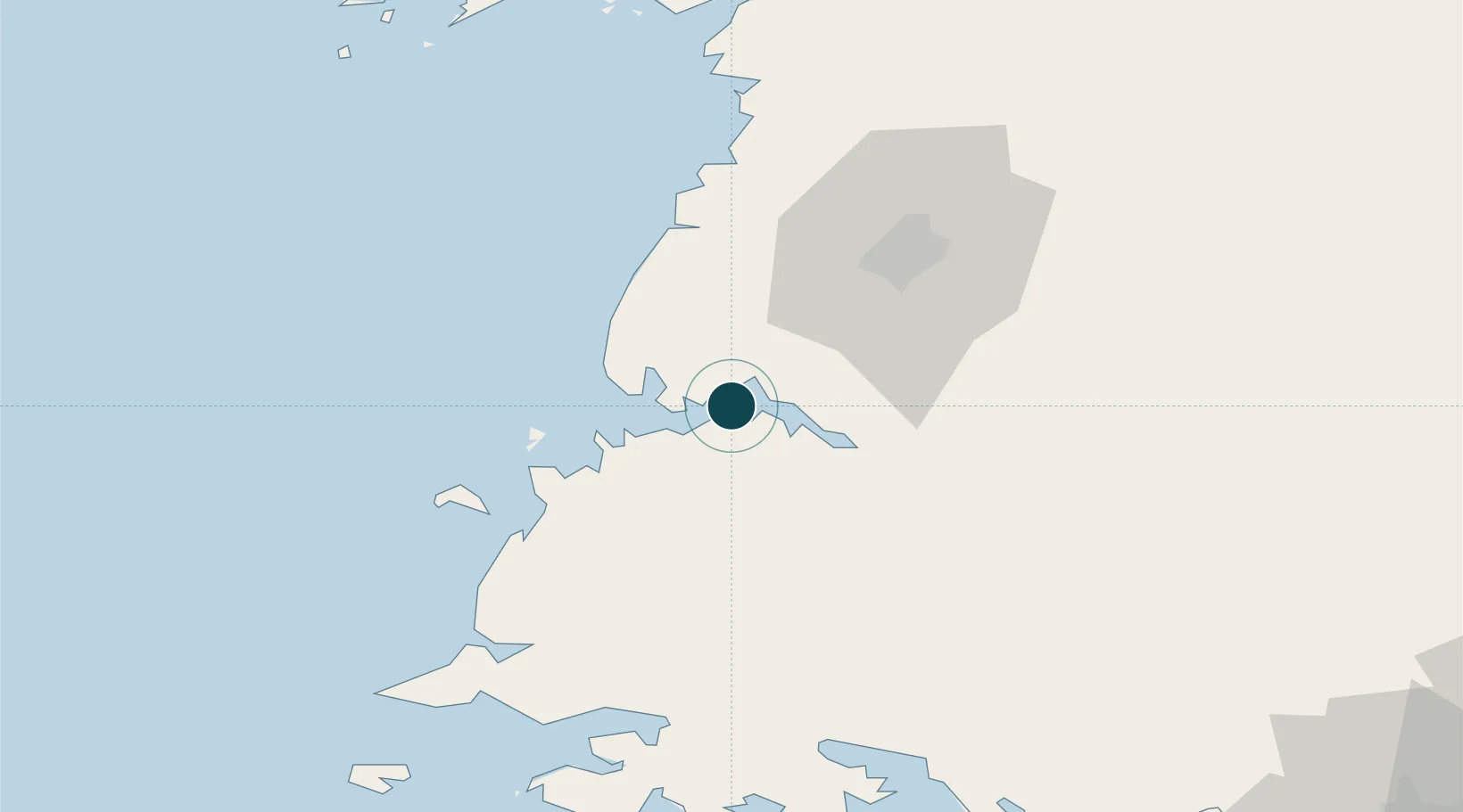
Location
Nearby Logistics Neighbours
Ports
- 1Kyomip'o19 km
- 2Haeju Hang84 km
- 3Dandong163 km
- 4Inchon175 km
- 5Wonsan184 km
Cities
- 1Songnim17 km
- 2Panjang37 km
- 3Samcha do96 km
- 4Yonggipo104 km
- 5Yeonpyeongdo122 km
Airports
- 1Hwangju Airbase35 km
- 2Uthachi Highway Strip Airport43 km
- 3Kwail Air Base46 km
- 4Pyongyang Sunan International Airport61 km
- 5Haeju Airfield86 km
DatabookThe Record of Consolidated Knowledge
North Korea beyond logistics?