Transport Functions
Port
Hub Profile
Region
28
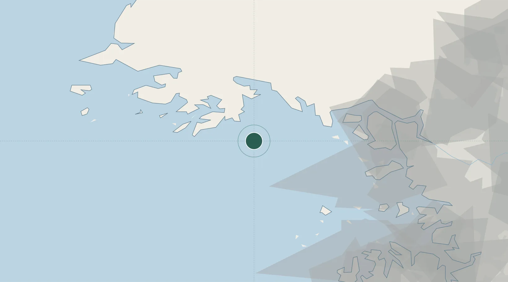
Location
Nearby Logistics Neighbours
Cities
- 1Ganghwa-gun/Incheon70 km
- 2Gyeongin80 km
- 3Incheon85 km
- 4Gimpo87 km
- 5Yonggipo93 km
Ports
- 1Haeju Hang39 km
- 2Inchon83 km
- 3Daesan Hang94 km
- 4Kyomip'o121 km
- 5Pyeongtaek Hang121 km
Airports
- 1Haeju Airfield40 km
- 2Incheon International Airport69 km
- 3Gimpo International Airport97 km
- 4Kwail Air Base105 km
- 5Hwangju Airbase112 km
DatabookThe Record of Consolidated Knowledge
South Korea beyond logistics?