Transport Functions
Port
Hub Profile
Place type
Populated place
Region
Incheon
Time zone
Asia/Seoul
Elevation
9 m
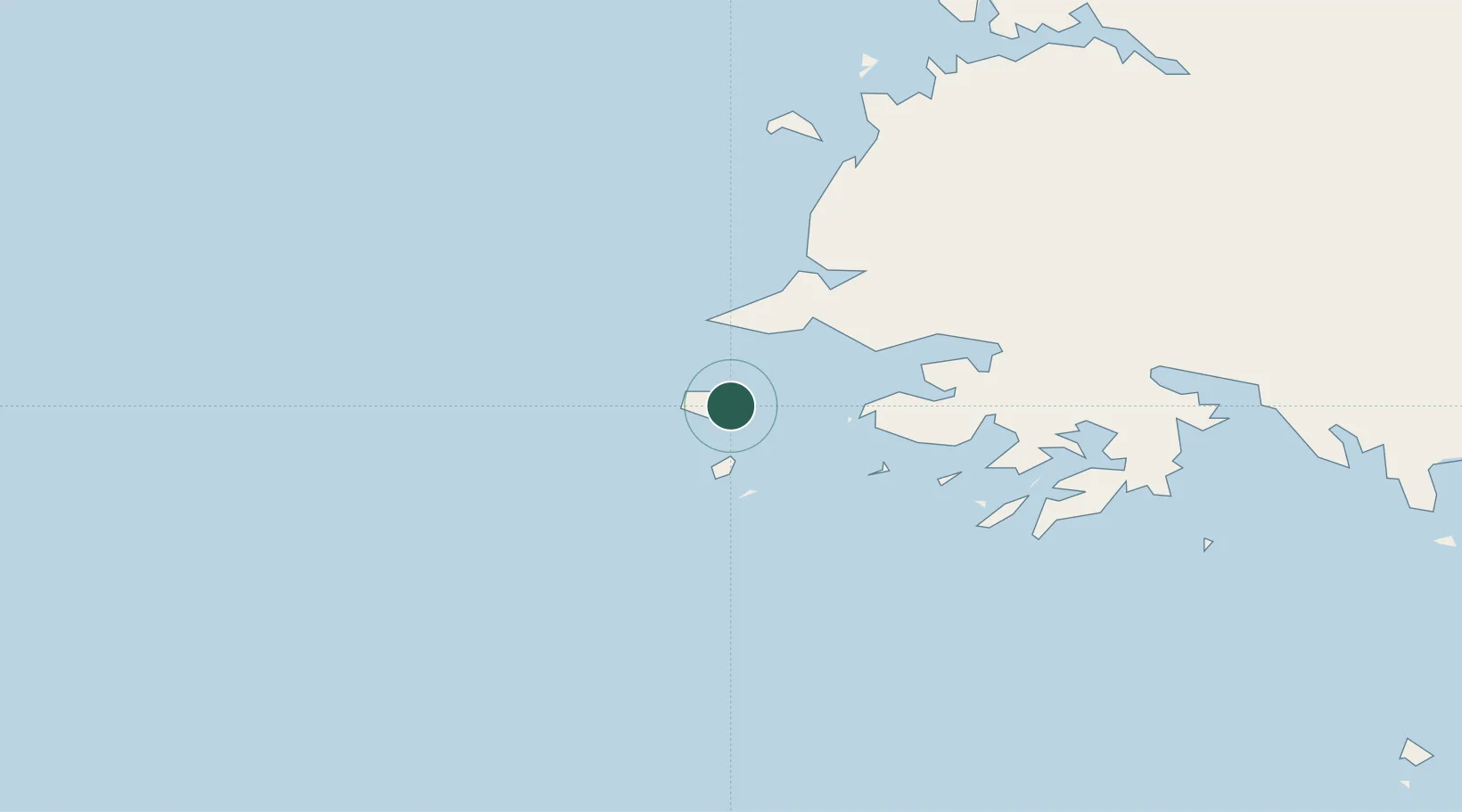
Location
Nearby Logistics Neighbours
Cities
- 1Panjang69 km
- 2Yeonpyeongdo93 km
- 3Songnim118 km
- 4Ganghwa-gun/Incheon157 km
- 5Samcha do161 km
Ports
- 1Haeju Hang86 km
- 2Nampo104 km
- 3Kyomip'o117 km
- 4Inchon176 km
- 5Daesan Hang181 km
Airports
- 1Kwail Air Base59 km
- 2Haeju Airfield93 km
- 3Hwangju Airbase122 km
- 4Uthachi Highway Strip Airport144 km
- 5Incheon International Airport162 km
DatabookThe Record of Consolidated Knowledge
South Korea beyond logistics?