Seaport · South Korea
Pyeongtaek HangKRPTK
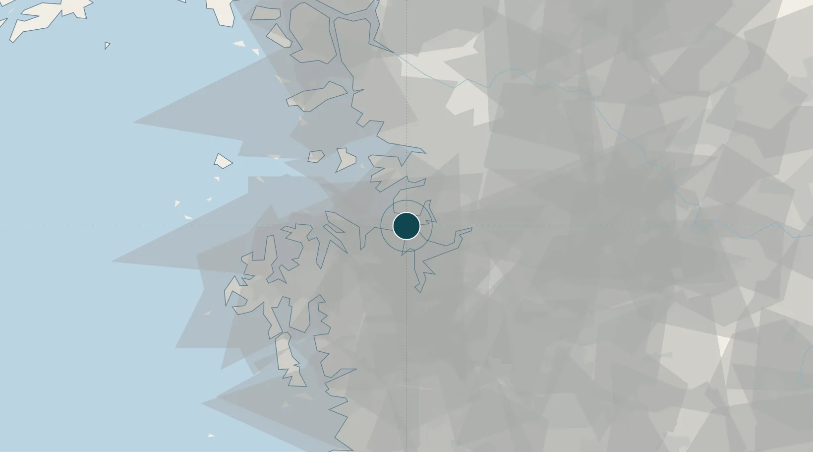
37.0000°, 126.8000°
21.6 m
Channel depth
2
Container terminals
15.6
Port liner connectivity
Channel & Berth Profile
Pilotage, Tugs & Services
Pilotage compulsoryYES
Pilotage availableYES
Tug assistanceYES
Potable waterYES
Diesel bunkersNO
Facilities & Capabilities
Container—
Ro-Ro—
Liquid bulk—
Dry bulk—
Oil terminal—
Break bulk—
Dry dock—
Repairs—
BunkeringNO
Rail link—
Dangerous cargo—
ISPS security—
Harbour Specifications
Harbour size
Medium
Harbour type
River (Natural)
Shelter
Fair
Water body
Yellow Sea; North Pacific Ocean
Tidal range
8 m
Overhead limit
No
Pilotage
Yes
Liner Connectivity
15.6
PLSCI
Port Liner Shipping Connectivity Index for Pyeongtaek Hang, as published by UNCTAD for the latest available quarter. Higher values indicate stronger scheduled liner-shipping integration.
Shown relative to the highest per-port PLSCI in the dataset (1,657.9).
Location
Container Terminals · 2
PYEONGTAEK CONTAINER TERMINAL
PCTCC PYEONGTAEK CONTAINER TERMINAL CO
PYEONGTAEK DONGBANG I-PORT
PNCTC PYEONGTAEK DONGBANG I-PORT CO., LTD.
Nearby Logistics Neighbours
Ports
- 1Daesan Hang36 km
- 2Inchon54 km
- 3Kunsan114 km
- 4Haeju Hang148 km
- 5Sokch'o Hang207 km
Cities
- 1Dangjin4 km
- 2Hwaseong20 km
- 3Songtan23 km
- 4Seocheon-gun25 km
- 5Asan30 km
Airports
DatabookThe Record of Consolidated Knowledge
South Korea beyond logistics?