Export Processing Zone · North Korea
Kaesong Industrial Region Inactive
37.9282°, 126.6253°
6,600 ha
Zone area
51.3 km
Nearest port
43.6 km
Nearest airport
Gateway access
Zone profile
Zone type
Export Processing Zone
Region
Hwanghae-bukto
Status
Inactive
Management
Public
Operator
Ministry of External Economic Relations
Legal framework
Labour Regulations for Foreign-Funded Enterprises in FETZ (Adopted as decision NO.8 of the Administration Council of the DPRK dated on December 3, 1993) The Law of the Democratic People’s Republic of Korea on the Rason Economic and Trade Zone; North Korea
Location
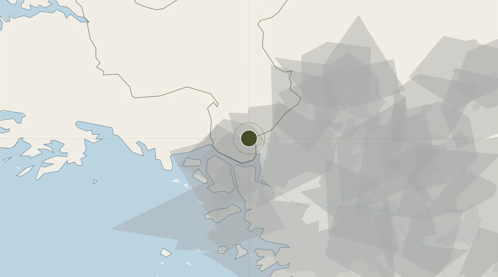
Nearby Logistics Neighbours
Ports
- 1Inchon51 km
- 2Haeju Hang82 km
- 3Daesan Hang103 km
- 4Pyeongtaek Hang104 km
- 5Kyomip'o126 km
Airports
- 1Gimpo International Airport44 km
- 2Incheon International Airport53 km
- 3Seoul Air Base (K-16)69 km
- 4Haeju Airfield75 km
- 5Koksan 2 Highway Strip82 km
Cities
- 1Panmoonjeom8 km
- 2Munsan/Paju16 km
- 3Dorasan/Paju23 km
- 4Paju23 km
- 5Ganghwa-gun/Incheon25 km
DatabookThe Record of Consolidated Knowledge
North Korea beyond logistics?