Seaport · South Korea
InchonKRINC
37.4667°, 126.6167°
11.0 m
Channel depth
4
Container terminals
440.8
Port liner connectivity
Channel & Berth Profile
Pilotage, Tugs & Services
Pilotage compulsoryYES
Pilotage availableYES
Pilotage advisableYES
Tug assistanceYES
Potable waterYES
Diesel bunkersYES
MedicalYES
Facilities & Capabilities
Container—
Ro-Ro—
Liquid bulk—
Dry bulk—
Oil terminal—
Break bulk—
Dry dockNO
RepairsNO
BunkeringYES
Rail linkYES
Dangerous cargo—
ISPS security—
Harbour Specifications
Harbour size
Large
Harbour type
River (Basins)
Shelter
Good
Water body
Yellow Sea; North Pacific Ocean
Tidal range
9 m
Pilotage
Yes
Liner Connectivity
440.8
PLSCI
Port Liner Shipping Connectivity Index for Inchon, as published by UNCTAD for the latest available quarter. Higher values indicate stronger scheduled liner-shipping integration.
Shown relative to the highest per-port PLSCI in the dataset (1,657.9).
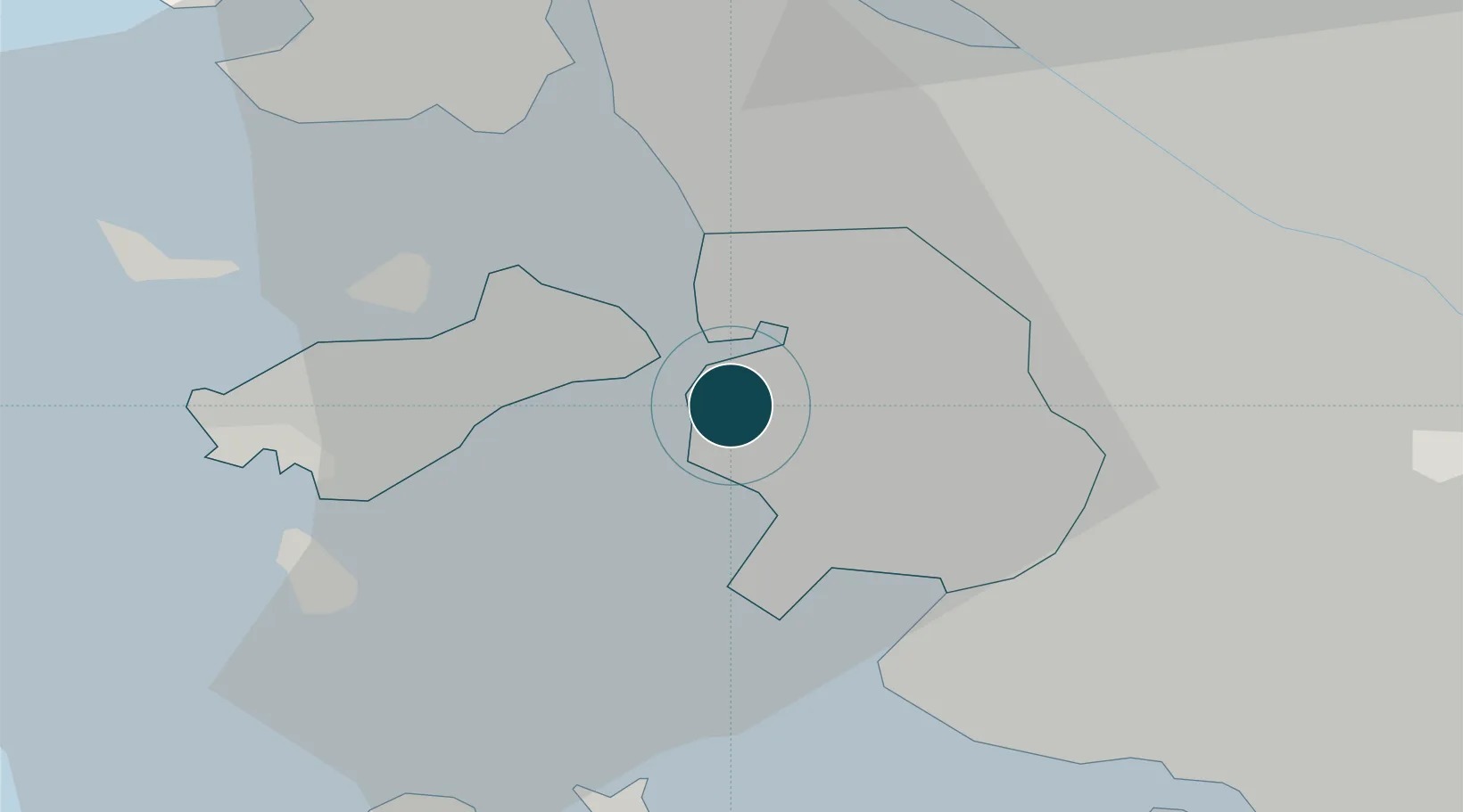
Location
Container Terminals · 4
E1 CONTAINER TERMINAL
E1CTC
HANJIN INCHEON CONTAINER TERMINAL (HJIT)
HJITC HANJIN INCHEON CONTAINER TERMINAL
INCHEON CONTAINER TERMINAL (ICT)
ICTPC INCHEON CONTAINER TERMINALS CO., LTD. / PSA
SUNKWANG NEWPORT CONTAINER TERMINAL (SNCT)
SNCTC SUNKWANG NEWPORT CONTAINER TERMINAL CO., LTD.
Nearby Logistics Neighbours
Ports
- 1Daesan Hang54 km
- 2Pyeongtaek Hang54 km
- 3Haeju Hang100 km
- 4Kunsan165 km
- 5Kyomip'o166 km
Cities
- 1Gyeongin8 km
- 2Bucheon12 km
- 3Gimpo18 km
- 4Siheung20 km
- 5Gwangmyeong21 km
Airports
- 1Incheon International Airport15 km
- 2Gimpo International Airport18 km
- 3Suwon Airport43 km
- 4Seoul Air Base (K-16)44 km
- 5Osan Air Base55 km
DatabookThe Record of Consolidated Knowledge
South Korea beyond logistics?