Medium airport · North Korea
Hwangju AirbaseKP-0020
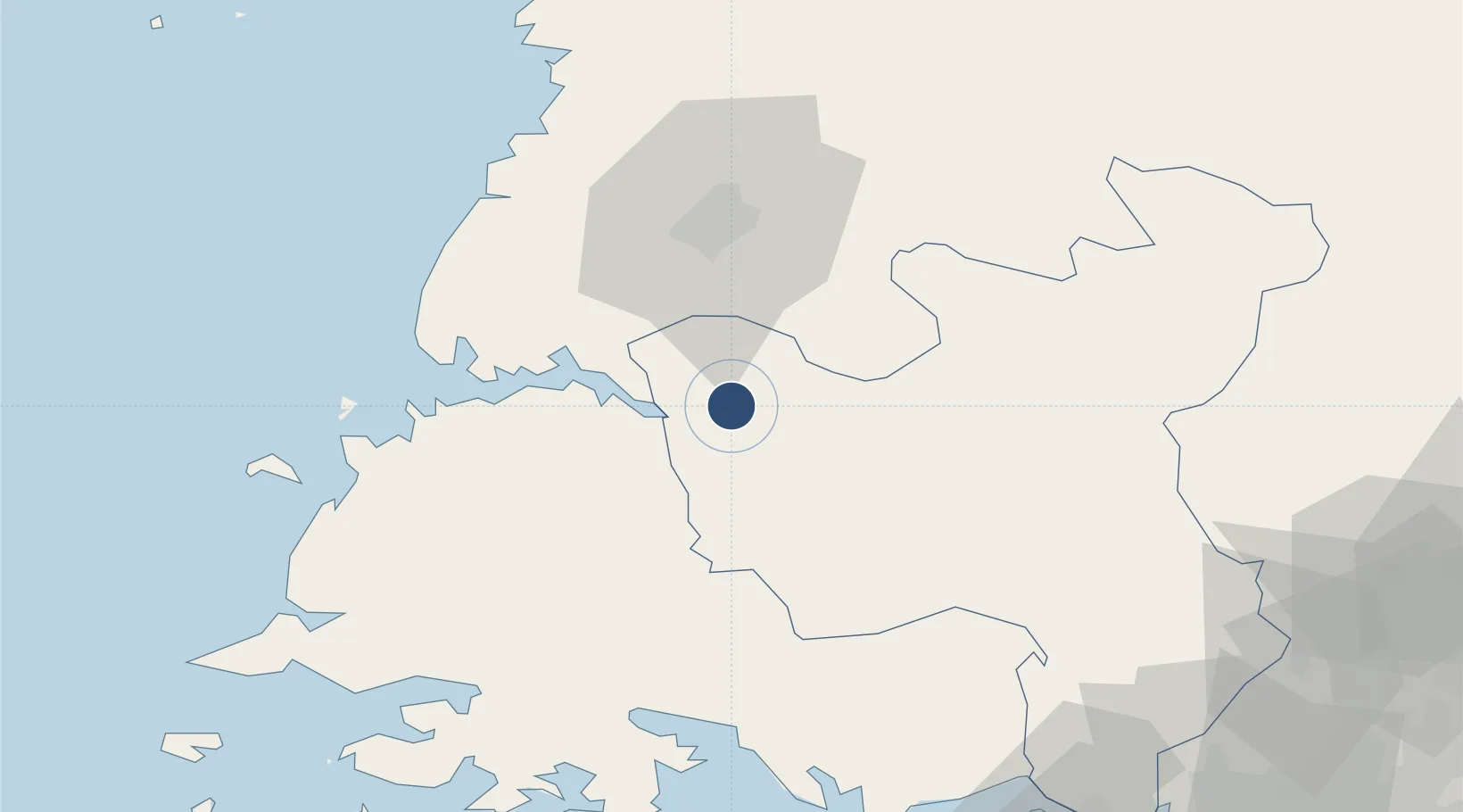
38.6535°, 125.7889°
8,180 ft
Longest runway
1
Runways
26 ft
Elevation
Runway & Layout

Runways · 1
| Runway | Dimensions | Surface | True heading | Lit |
|---|---|---|---|---|
| 12/30 | 8,180 × 154ft | Concrete | 116° | — |
Airport Specifications
ICAO code
ZKHW
Airport class
Medium airport
Scheduled service
No
Runway surface
Concrete
Served city
Hwangju
Location
Nearby Logistics Neighbours
Airports
- 1Uthachi Highway Strip Airport29 km
- 2Pyongyang Sunan International Airport64 km
- 3Koksan 2 Highway Strip69 km
- 4Koksan Air Base71 km
- 5Kwail Air Base72 km
Cities
- 1Songnim22 km
- 2Panjang64 km
- 3Yeonpyeongdo112 km
- 4Panmoonjeom114 km
- 5Ganghwa-gun/Incheon119 km
Ports
- 1Kyomip'o17 km
- 2Nampo35 km
- 3Haeju Hang73 km
- 4Inchon151 km
- 5Wonsan155 km
DatabookThe Record of Consolidated Knowledge
North Korea beyond logistics?