Seaport · South Korea
Daesan HangKRTSN
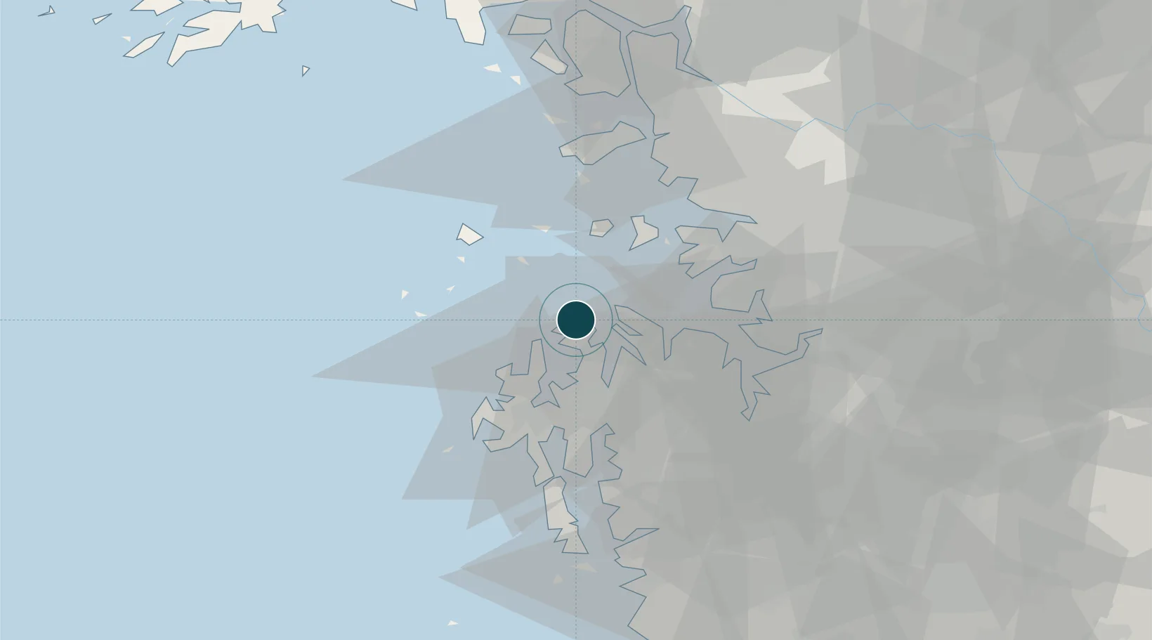
37.0167°, 126.4000°
20.1 m
Channel depth
1
Container terminals
64.5
Port liner connectivity
Channel & Berth Profile
Pilotage, Tugs & Services
Pilotage availableYES
Pilotage advisableYES
Tug assistanceYES
Potable waterYES
MedicalYES
Garbage disposalNO
Facilities & Capabilities
Container—
Ro-Ro—
Liquid bulk—
Dry bulk—
Oil terminal—
Break bulk—
Dry dock—
Repairs—
BunkeringYES
Rail link—
Dangerous cargo—
ISPS security—
Harbour Specifications
Harbour size
Very Small
Harbour type
Open Roadstead
Shelter
Fair
Water body
Yellow Sea; North Pacific Ocean
Tidal range
1 m
Liner Connectivity
64.5
PLSCI
Port Liner Shipping Connectivity Index for Daesan Hang, as published by UNCTAD for the latest available quarter. Higher values indicate stronger scheduled liner-shipping integration.
Shown relative to the highest per-port PLSCI in the dataset (1,657.9).
Location
Container Terminals · 1
DAESAN PORT CONTAINER TERMINAL
DPCT DAESAN REGIONAL OFFICE OF OCEANS AND FISHERIES
Nearby Logistics Neighbours
Ports
- 1Pyeongtaek Hang36 km
- 2Inchon54 km
- 3Kunsan117 km
- 4Haeju Hang126 km
- 5Kyomip'o203 km
Cities
- 1Naepo21 km
- 2Seosan26 km
- 3Dangjin35 km
- 4Seocheon-gun35 km
- 5Taean-gun35 km
Airports
Trade Zones
DatabookThe Record of Consolidated Knowledge
South Korea beyond logistics?