Large airport · South Korea
Incheon International AirportRKSI
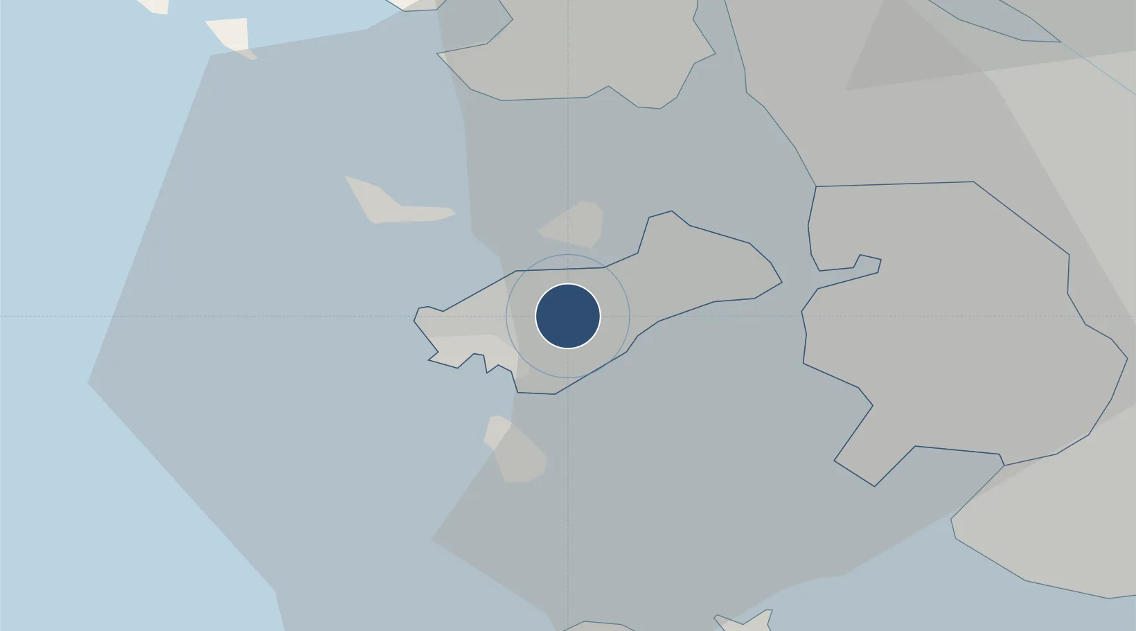
37.4691°, 126.4510°
13,123 ft
Longest runway
4
Runways
23 ft
Elevation
Runway & Layout

Radio Frequencies
ATIS
23.025 MHz
TWR
118.2 MHz
GND
121.4 MHz
CLD
121 MHz
CLNC DEL
APP
120.8 MHz
SEOUL APP
DEP
121.35 MHz
SEOUL DEP
RMP
121.65 MHz
RAMP CON
Navaids
NCN VOR-DME Incheon 113.80 MHz
Runways · 4
| Runway | Dimensions | Surface | True heading | Lit |
|---|---|---|---|---|
| 16L/34R | 13,123 × 197ft | ASPH | 145° | ✓ |
| 15L/33R | 12,303 × 197ft | ASPH | 145° | ✓ |
| 15R/33L | 12,303 × 197ft | ASPH | 145° | ✓ |
| 16R/34L | 12,303 × 197ft | ASPH | 145° | ✓ |
Airport Specifications
IATA code
ICN
ICAO code
RKSI
Airport class
Large airport
Scheduled service
Yes
Runway surface
ASPH
Served city
Seoul
Location
Nearby Logistics Neighbours
Airports
- 1Gimpo International Airport32 km
- 2Suwon Airport55 km
- 3Seoul Air Base (K-16)59 km
- 4Osan Air Base66 km
- 5Camp Humphreys (A-511) Desiderio Army Airfield76 km
Cities
- 1Gyeongin15 km
- 2Incheon16 km
- 3Gimpo26 km
- 4Bucheon27 km
- 5Ganghwa-gun/Incheon30 km
Ports
- 1Inchon15 km
- 2Daesan Hang51 km
- 3Pyeongtaek Hang61 km
- 4Haeju Hang89 km
- 5Kyomip'o158 km
DatabookThe Record of Consolidated Knowledge
South Korea beyond logistics?