Transport Functions
Rail
Road
Hub Profile
Place type
Populated place
Region
South Hwanghae
Time zone
Asia/Pyongyang
Elevation
37 m
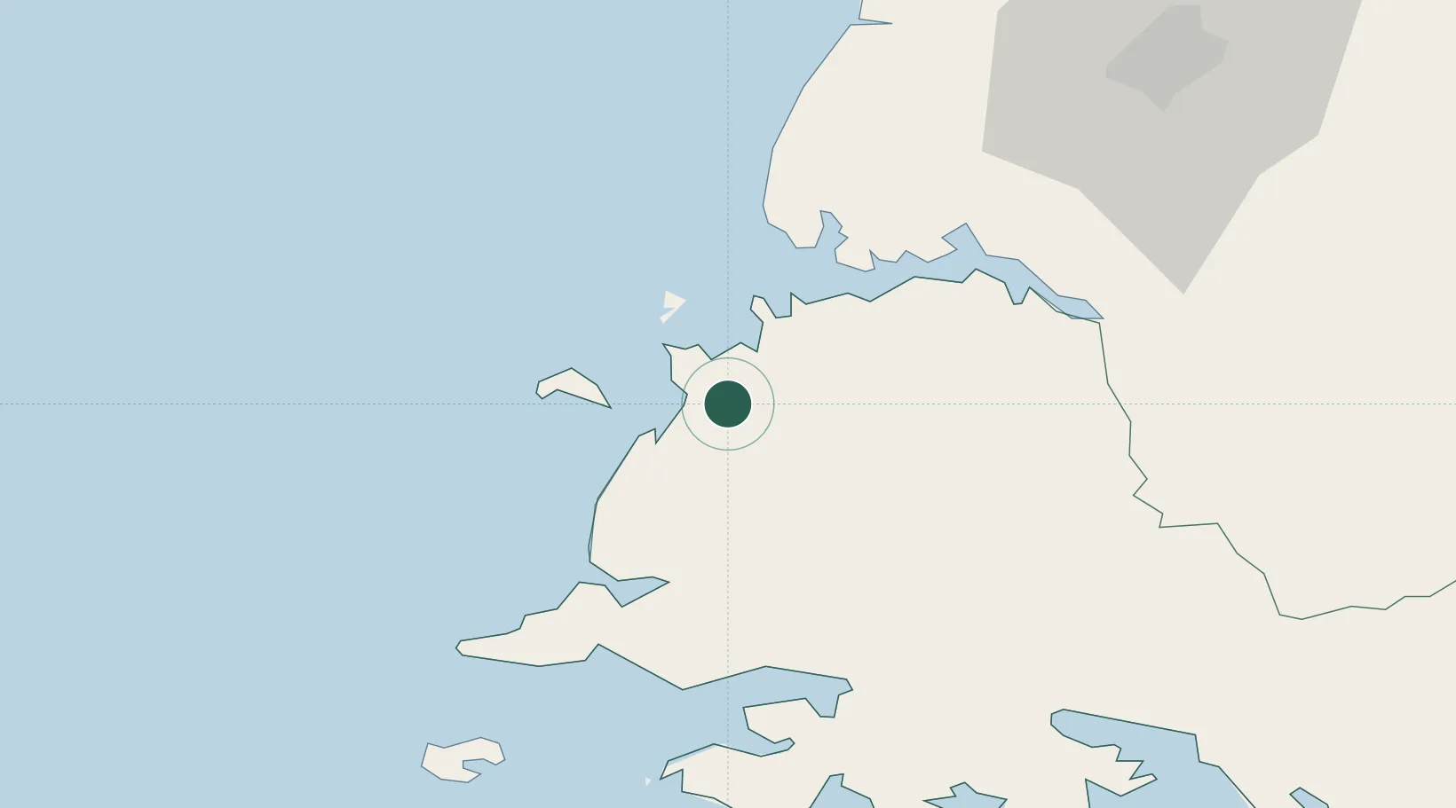
Location
Nearby Logistics Neighbours
Cities
- 1Songnim53 km
- 2Yonggipo69 km
- 3Samcha do105 km
- 4Yeonpyeongdo109 km
- 5Ganghwa-gun/Incheon149 km
Ports
- 1Nampo37 km
- 2Kyomip'o53 km
- 3Haeju Hang77 km
- 4Dandong167 km
- 5Inchon177 km
Airports
- 1Kwail Air Base10 km
- 2Hwangju Airbase64 km
- 3Uthachi Highway Strip Airport79 km
- 4Haeju Airfield82 km
- 5Pyongyang Sunan International Airport95 km
DatabookThe Record of Consolidated Knowledge
North Korea beyond logistics?