UN/LOCODE hub · Japan
JPSKT
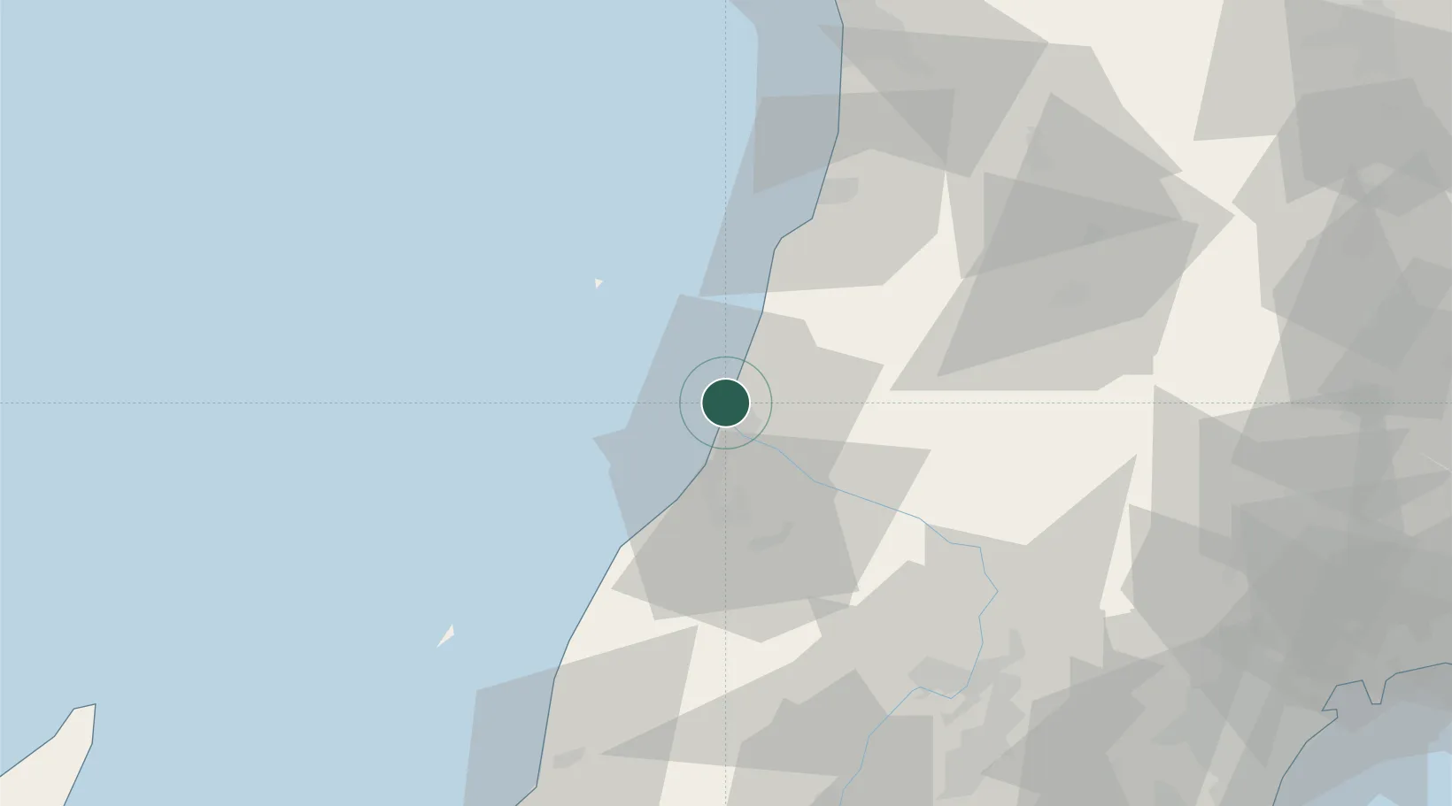
Sakata
38.9457°, 139.8166°
100,273
Population
1
Transport functions
1
Container terminals
Transport Functions
Port
Hub Profile
Place type
Provincial seat
Region
Yamagata
Population
100,273
Time zone
Asia/Tokyo
Elevation
0 m
Logistics facilities
3
Container terminals
1
Location
Nearby Logistics Neighbours
Cities
- 1Yuza11 km
- 2Yurihonjo, Akita52 km
- 3Nikaho54 km
- 4Yuzawa, Akita64 km
- 5Sagae75 km
Ports
- 1Akita-Funakawa Ko95 km
- 2Eastern Part Of Niigata-Ko115 km
- 3Sendai-Shiogama127 km
- 4Niigata Ko133 km
- 5Noshiro Ko142 km
Airports
- 1Shonai Airport15 km
- 2Yamagata Airport76 km
- 3Akita Airport82 km
- 4Iwate Hanamaki Airport126 km
- 5Niigata Airport126 km
DatabookThe Record of Consolidated Knowledge
Japan beyond logistics?