Seaport · Japan
Niigata KoJPKIJ
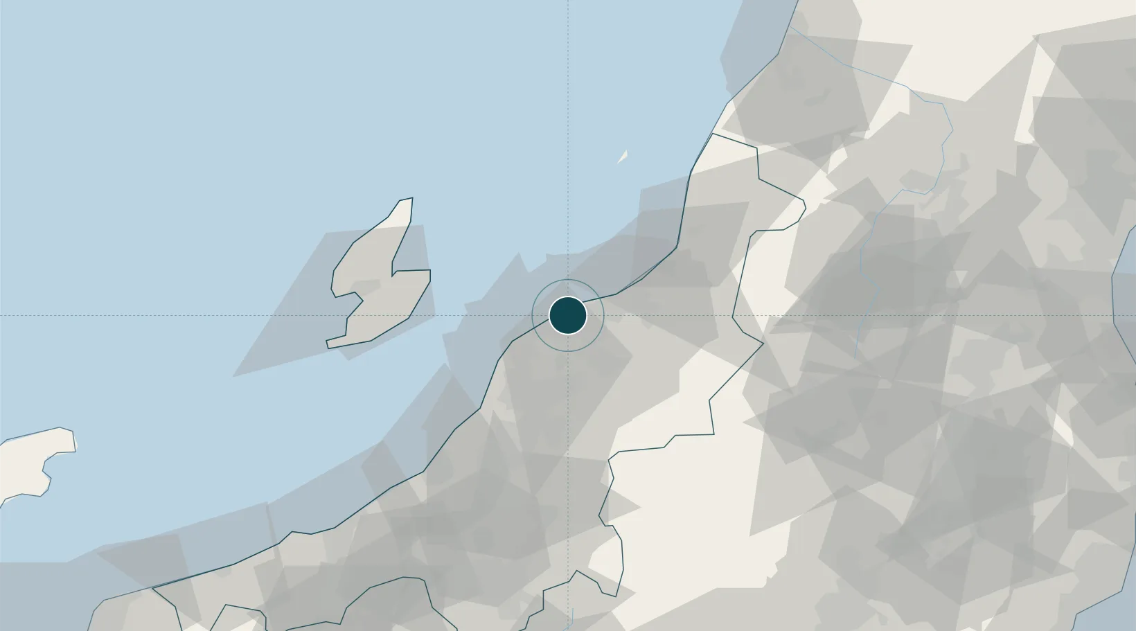
37.9167°, 139.0500°
9.4 m
Channel depth
1
Container terminals
74.3
Port liner connectivity
Channel & Berth Profile
Pilotage, Tugs & Services
Pilotage compulsoryNO
Pilotage availableYES
Pilotage advisableYES
Tug assistanceYES
Shore powerYES
Potable waterYES
MedicalYES
Garbage disposalNO
Facilities & Capabilities
Container—
Ro-Ro—
Liquid bulk—
Dry bulk—
Oil terminal—
Break bulk—
Dry dockNO
RepairsNO
BunkeringYES
Rail linkYES
Dangerous cargo—
ISPS security—
Harbour Specifications
Harbour size
Medium
Harbour type
River (Basins)
Shelter
Fair
Water body
Sea of Japan; North Pacific Ocean
Pilotage
No
Liner Connectivity
74.3
PLSCI
Port Liner Shipping Connectivity Index for Niigata Ko, as published by UNCTAD for the latest available quarter. Higher values indicate stronger scheduled liner-shipping integration.
Shown relative to the highest per-port PLSCI in the dataset (1,657.9).
Location
Container Terminals · 1
NIIGATA WORLD TRADE TERMINAL (N-WTT)
EWC NIIGATA WORLD TRADE TERMINAL CO., LTD.
Nearby Logistics Neighbours
Ports
- 1Eastern Part Of Niigata-Ko20 km
- 2Ryotu Ko46 km
- 3Kashiwazaki75 km
- 4Naoetsu Ko108 km
- 5Sakata Ko131 km
Cities
- 1Agano17 km
- 2Aga Niigata17 km
- 3Gosen23 km
- 4Yahiko31 km
- 5Tsubame31 km
Airports
- 1Niigata Airport7 km
- 2Sado Airport58 km
- 3Shonai Airport119 km
- 4Yamagata Airport128 km
- 5Fukushima Airport144 km
DatabookThe Record of Consolidated Knowledge
Japan beyond logistics?