Medium airport · Japan
Yamagata AirportRJSC
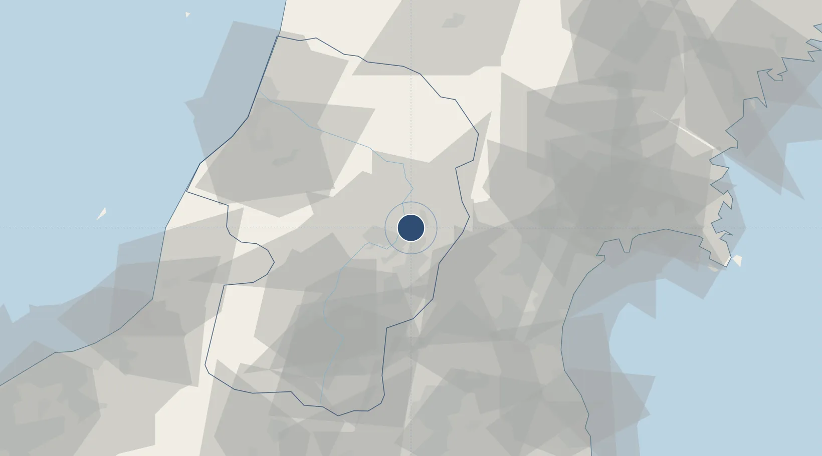
38.4119°, 140.3710°
6,560 ft
Longest runway
1
Runways
353 ft
Elevation
Runway & Layout

Radio Frequencies
ACC
118.9 MHz
TOKYO CON
Navaids
YTE VOR-DME Yamagata 113.00 MHz
ZMO VOR Zao-Yamada 110.80 MHz
Runways · 1
| Runway | Dimensions | Surface | True heading | Lit |
|---|---|---|---|---|
| 01/19 | 6,560 × 150ft | Asphalt | 007° | ✓ |
Airport Specifications
IATA code
GAJ
ICAO code
RJSC
Airport class
Medium airport
Scheduled service
Yes
Runway surface
Asphalt
Served city
Higashine
Location
Nearby Logistics Neighbours
Airports
- 1Sendai Airport57 km
- 2Shonai Airport68 km
- 3JASDF Matsushima Air Base74 km
- 4Niigata Airport121 km
- 5Iwate Hanamaki Airport131 km
Cities
- 1Sagae10 km
- 2Tomiya45 km
- 3Takahata, Yamagata49 km
- 4Sendai, Miyagi59 km
- 5Sendaishiogama59 km
Ports
- 1Sendai-Shiogama59 km
- 2Sakata Ko75 km
- 3Soma82 km
- 4Ishinomaki Ko82 km
- 5Onagawa94 km
DatabookThe Record of Consolidated Knowledge
Japan beyond logistics?