Channel & Berth Profile
Pilotage, Tugs & Services
Pilotage compulsoryNO
Pilotage availableYES
Tug assistanceYES
Potable waterYES
Diesel bunkersYES
MedicalYES
Facilities & Capabilities
Container—
Ro-Ro—
Liquid bulk—
Dry bulk—
Oil terminal—
Break bulk—
Dry dock—
RepairsNO
BunkeringYES
Rail linkYES
Dangerous cargo—
ISPS security—
Harbour Specifications
Harbour size
Small
Harbour type
Coastal (Breakwater)
Water body
Sea of Japan; North Pacific Ocean
Pilotage
No
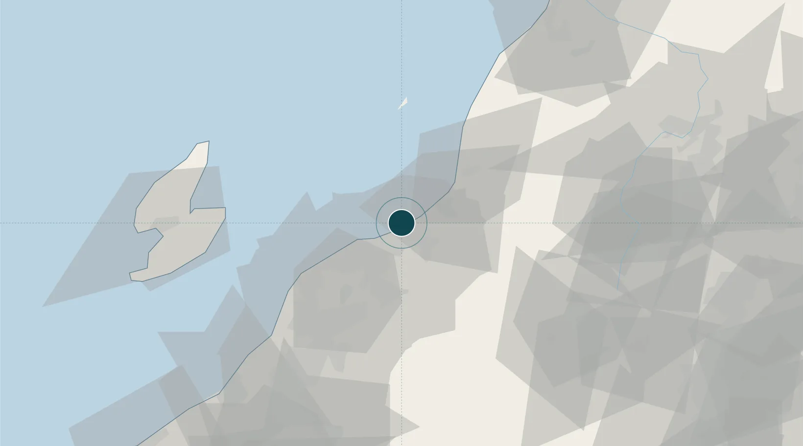
Location
Nearby Logistics Neighbours
Ports
- 1Niigata Ko20 km
- 2Ryotu Ko59 km
- 3Kashiwazaki94 km
- 4Sakata Ko114 km
- 5Naoetsu Ko127 km
Cities
- 1Niigata5 km
- 2Agano20 km
- 3Aga Niigata20 km
- 4Gosen32 km
- 5Murakami33 km
Airports
- 1Niigata Airport13 km
- 2Sado Airport72 km
- 3Shonai Airport101 km
- 4Yamagata Airport109 km
- 5Fukushima Airport137 km
DatabookThe Record of Consolidated Knowledge
Japan beyond logistics?