Transport Functions
Multimodal
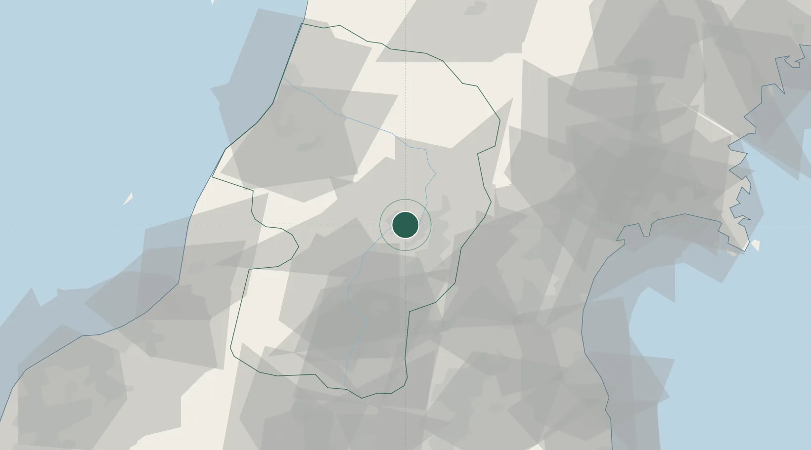
Hub Profile
Place type
Provincial seat
Region
Yamagata
Population
43,544
Time zone
Asia/Tokyo
Elevation
102 m
Location
Nearby Logistics Neighbours
Cities
- 1Takahata, Yamagata41 km
- 2Yonezawa52 km
- 3Tomiya54 km
- 4Sendai, Miyagi67 km
- 5Sendaishiogama67 km
Ports
- 1Sendai-Shiogama67 km
- 2Sakata Ko74 km
- 3Soma84 km
- 4Ishinomaki Ko92 km
- 5Eastern Part Of Niigata-Ko98 km
Airports
- 1Yamagata Airport10 km
- 2Sendai Airport62 km
- 3Shonai Airport65 km
- 4JASDF Matsushima Air Base83 km
- 5Niigata Airport111 km
DatabookThe Record of Consolidated Knowledge
Japan beyond logistics?