Channel & Berth Profile
Pilotage, Tugs & Services
Pilotage compulsoryNO
Pilotage availableYES
Local assistanceYES
Tug assistanceYES
Shore powerYES
Potable waterYES
Diesel bunkersYES
MedicalYES
Garbage disposalNO
Facilities & Capabilities
Container—
Ro-Ro—
Liquid bulk—
Dry bulk—
Oil terminal—
Break bulk—
Dry dock—
RepairsNO
BunkeringYES
Rail linkYES
Dangerous cargo—
ISPS security—
Harbour Specifications
Harbour size
Very Small
Harbour type
Coastal (Breakwater)
Shelter
Fair
Water body
Korea Strait; North Pacific Ocean
Tidal range
2 m
Pilotage
No
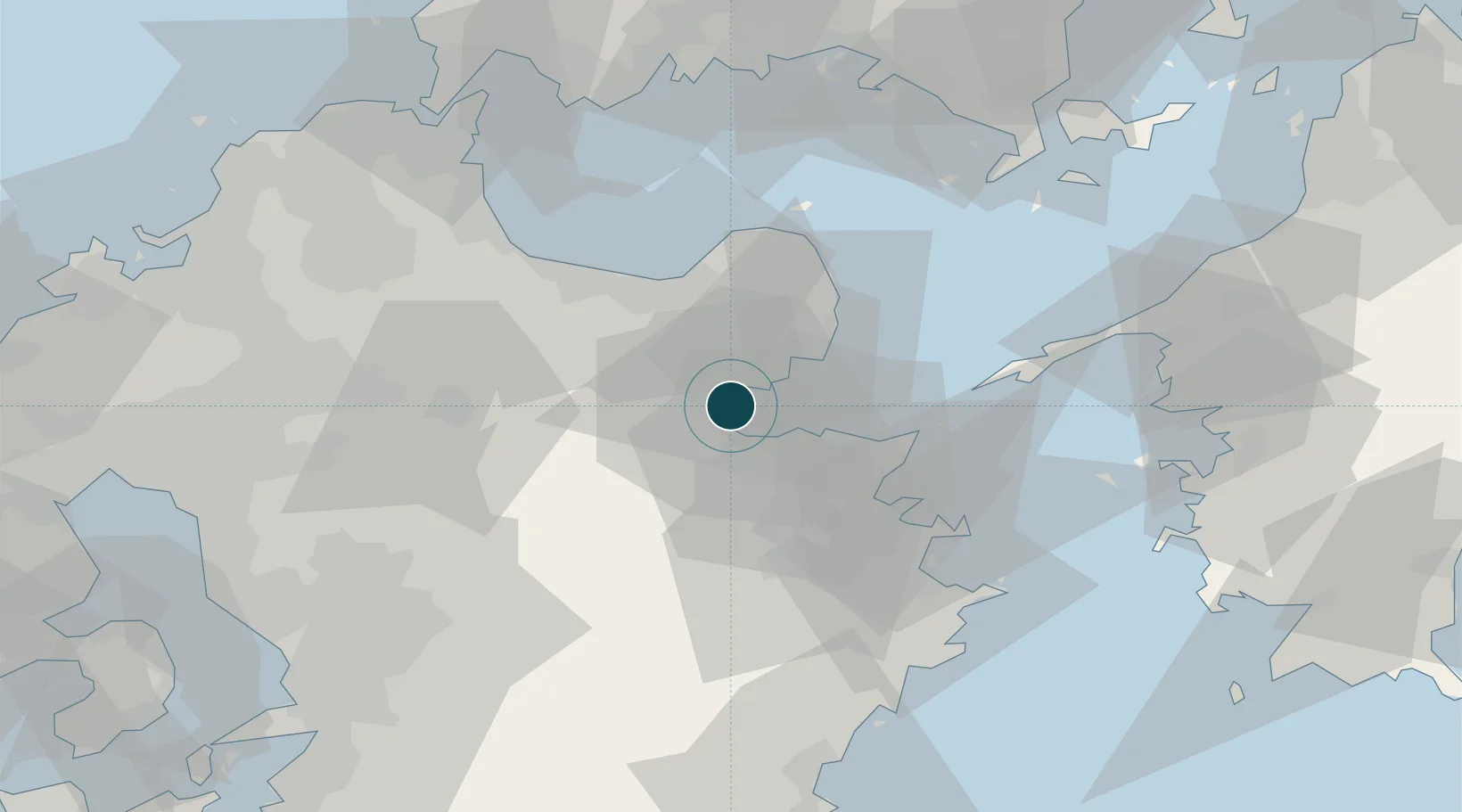
Location
Nearby Logistics Neighbours
Ports
- 1Oita Ko16 km
- 2Saganoseki Ko33 km
- 3Tsukumi Ko42 km
- 4Saiki Ko55 km
- 5Kanda70 km
Cities
- 1Kitsuki15 km
- 2Oita18 km
- 3Bungotakada27 km
- 4Usa28 km
- 5Buzen49 km
Airports
- 1Oita Airport27 km
- 2JASDF Tsuiki Air Base60 km
- 3Yamaguchi Ube Airport72 km
- 4Kitakyushu Airport74 km
- 5JASDF Hofu Airfield80 km
Trade Zones
DatabookThe Record of Consolidated Knowledge
Japan beyond logistics?