Transport Functions
Port
Multimodal
Hub Profile
Place type
Provincial seat
Region
Oita
Population
27,999
Time zone
Asia/Tokyo
Elevation
3 m
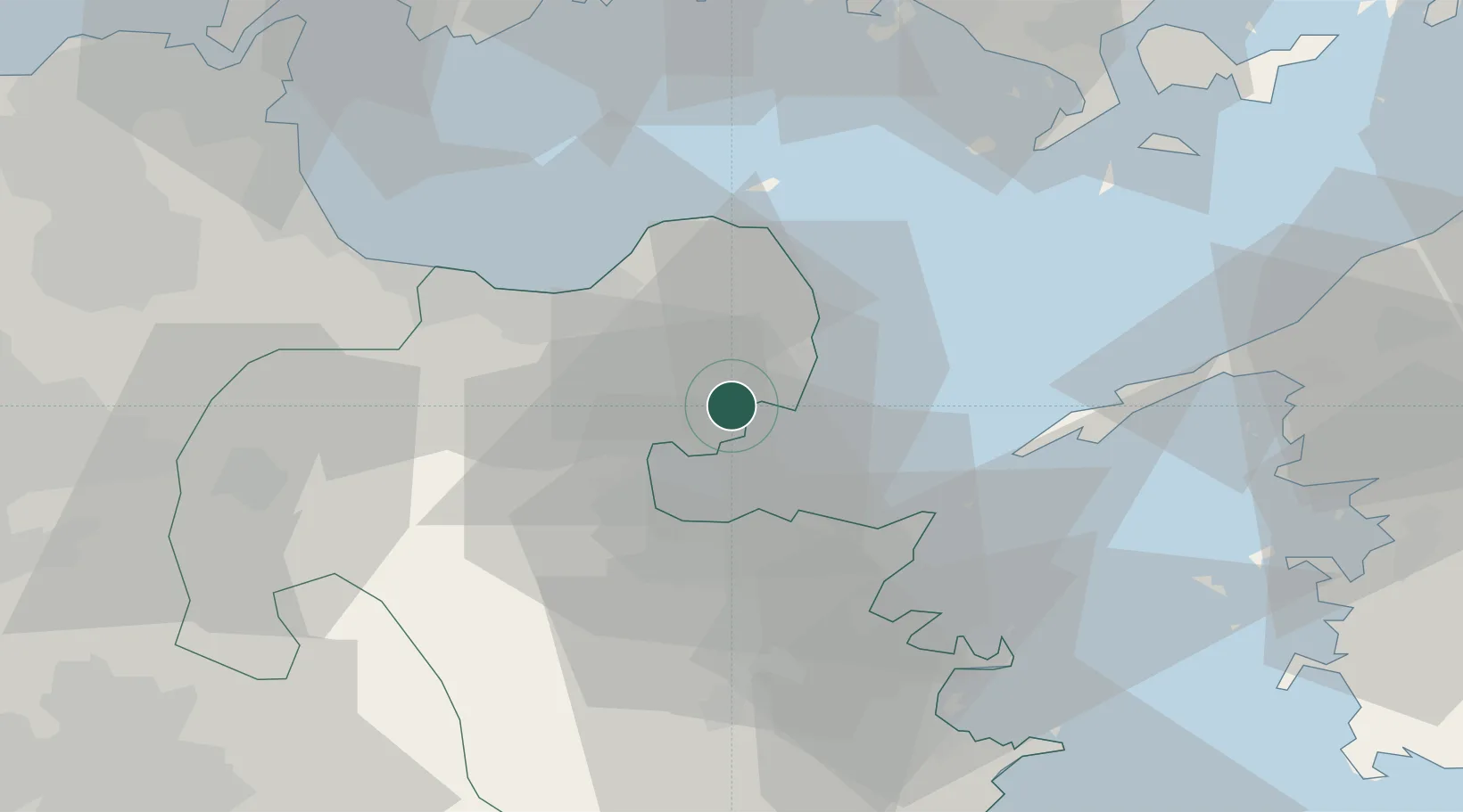
Location
Nearby Logistics Neighbours
Cities
- 1Oita20 km
- 2Bungotakada21 km
- 3Usa29 km
- 4Buzen50 km
- 5Hida, Oita64 km
Ports
- 1Beppu15 km
- 2Oita Ko19 km
- 3Saganoseki Ko30 km
- 4Tsukumi Ko44 km
- 5Saiki Ko58 km
Airports
- 1Oita Airport13 km
- 2JASDF Tsuiki Air Base61 km
- 3Yamaguchi Ube Airport65 km
- 4JASDF Hofu Airfield69 km
- 5Kitakyushu Airport72 km
Trade Zones
- 1Yamaguchi Next-Generation Agricultural Production Structure Establishment Special Zone68 km
- 2Aso Grassland Special Zone69 km
- 3Green Asia International Strategic Comprehensive Special Zone113 km
- 4Kyushu Asia Tourism Island Comprehensive Special Zone114 km
- 5Higashi Kyushu Medical Valley Concept Special Zone115 km
DatabookThe Record of Consolidated Knowledge
Japan beyond logistics?