Transport Functions
Multimodal
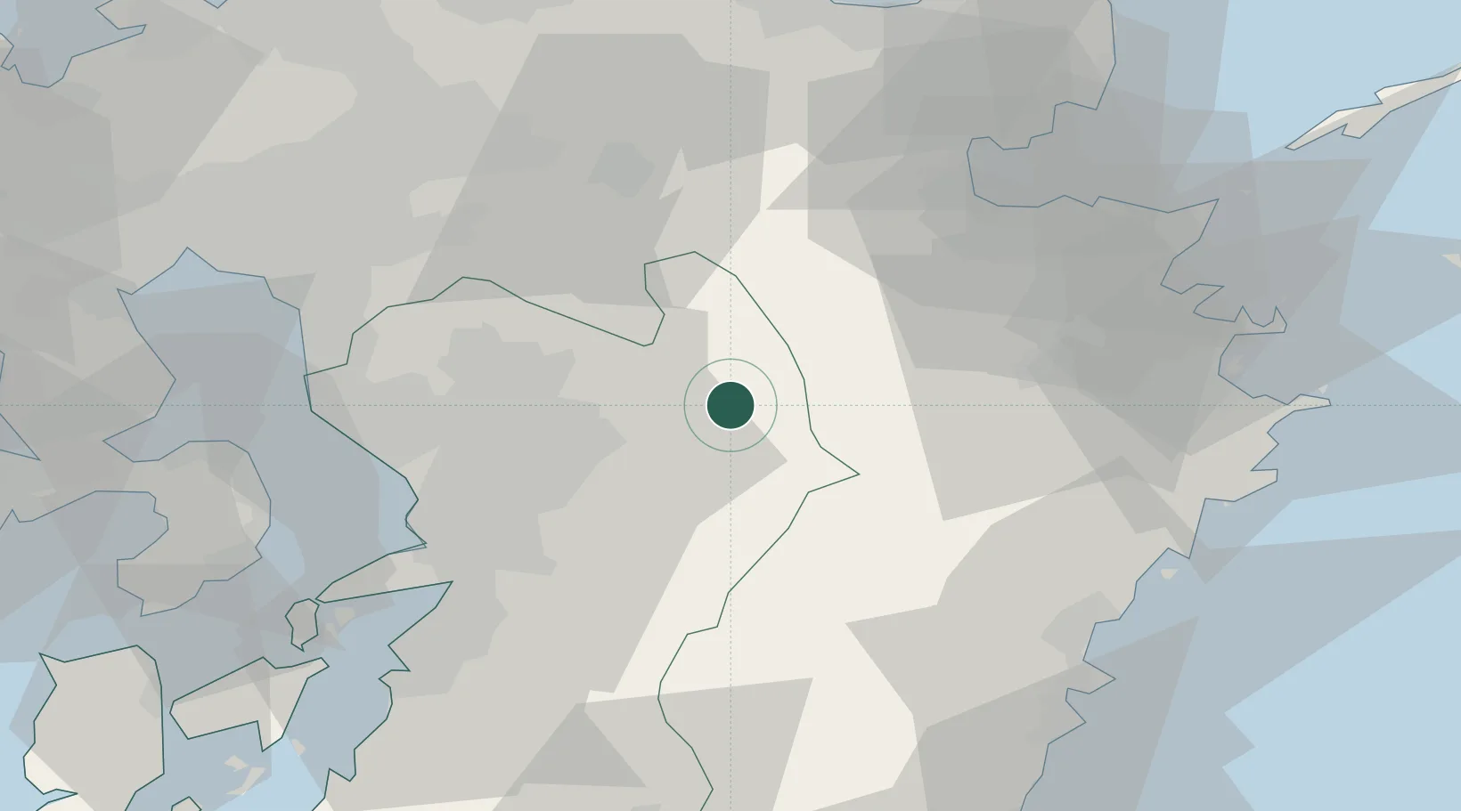
Hub Profile
Place type
Provincial seat
Region
Kumamoto
Population
27,039
Time zone
Asia/Tokyo
Elevation
520 m
Location
Nearby Logistics Neighbours
Cities
- 1Ozu, Kumamoto25 km
- 2Kikuchi Kumamoto29 km
- 3Koshi32 km
- 4Hida, Oita46 km
- 5Nagomi Kumamoto48 km
Ports
- 1Beppu57 km
- 2Oita Ko62 km
- 3Miike Ko66 km
- 4Misumi Ko71 km
- 5Tsukumi Ko72 km
Airports
- 1Kumamoto Airport27 km
- 2Kyushu Saga International Airport80 km
- 3Oita Airport84 km
- 4JASDF Tsuiki Air Base84 km
- 5Fukuoka Airport95 km
DatabookThe Record of Consolidated Knowledge
Japan beyond logistics?