Diversified Zone · Japan
Green Asia International Strategic Comprehensive Special Zone Active
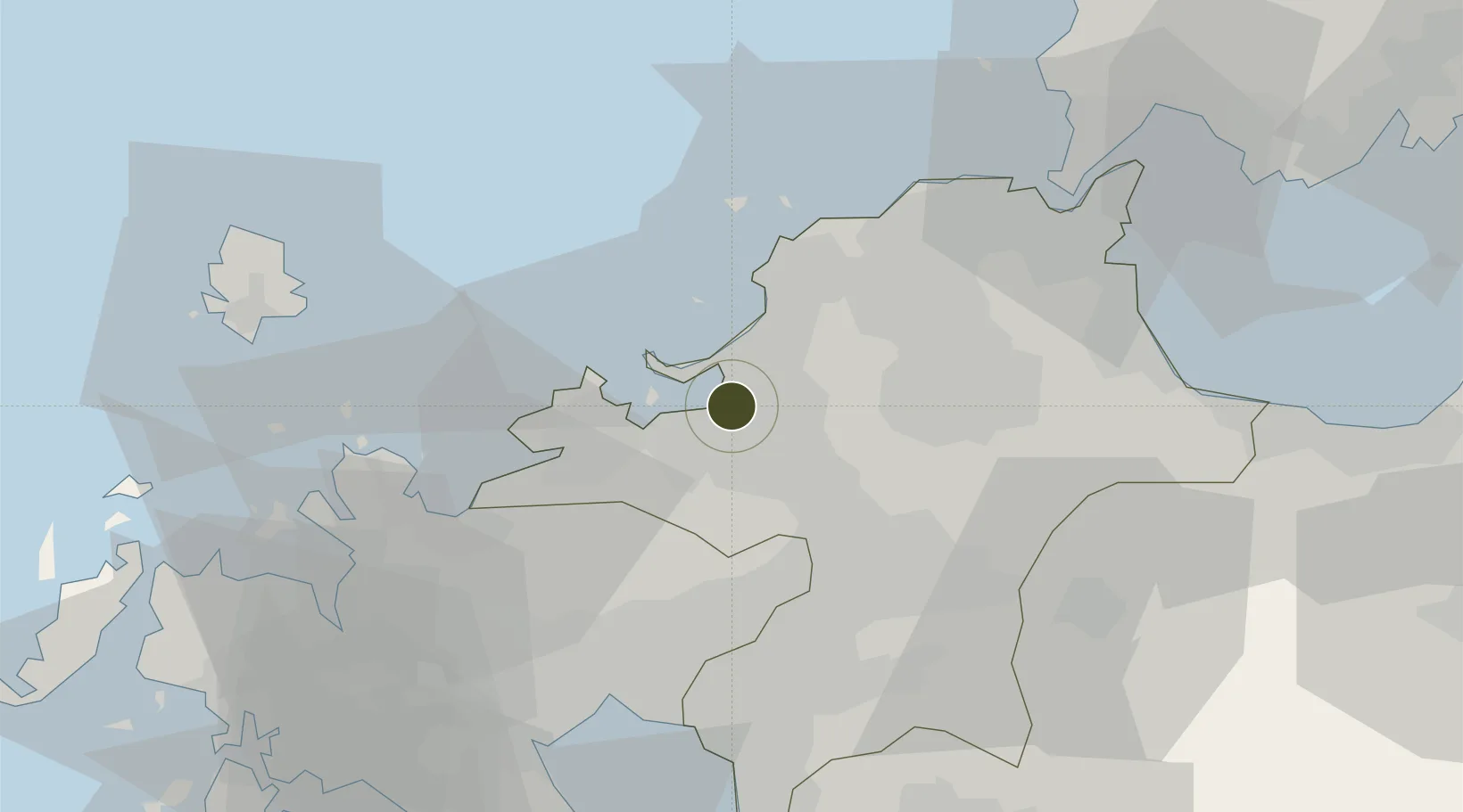
33.6072°, 130.4189°
49,200 ha
Zone area
1.9 km
Nearest port
3.8 km
Nearest airport
Gateway access
Zone profile
Zone type
Diversified Zone
Region
Fukuoka
Status
Active
Management
Public
Operator
Special Industrial Zone Promotion Office
Legal framework
Comprehensive Special Zone Law (Law No. 81 of 2011)
Location
Nearby Logistics Neighbours
Ports
- 1Hakata2 km
- 2Karatsu44 km
- 3Yahata47 km
- 4Wakamatsu Ko49 km
- 5Tobata50 km
Airports
- 1Fukuoka Airport4 km
- 2JASDF Ashiya Air Base38 km
- 3Kyushu Saga International Airport52 km
- 4JASDF Tsuiki Air Base58 km
- 5Iki Airport61 km
Cities
- 1Hakata/Fukuoka4 km
- 2Kasuya6 km
- 3Sue8 km
- 4Onojo10 km
- 5Fukuoka14 km
DatabookThe Record of Consolidated Knowledge
Japan beyond logistics?