Seaport · Japan
Oita KoJPOIT
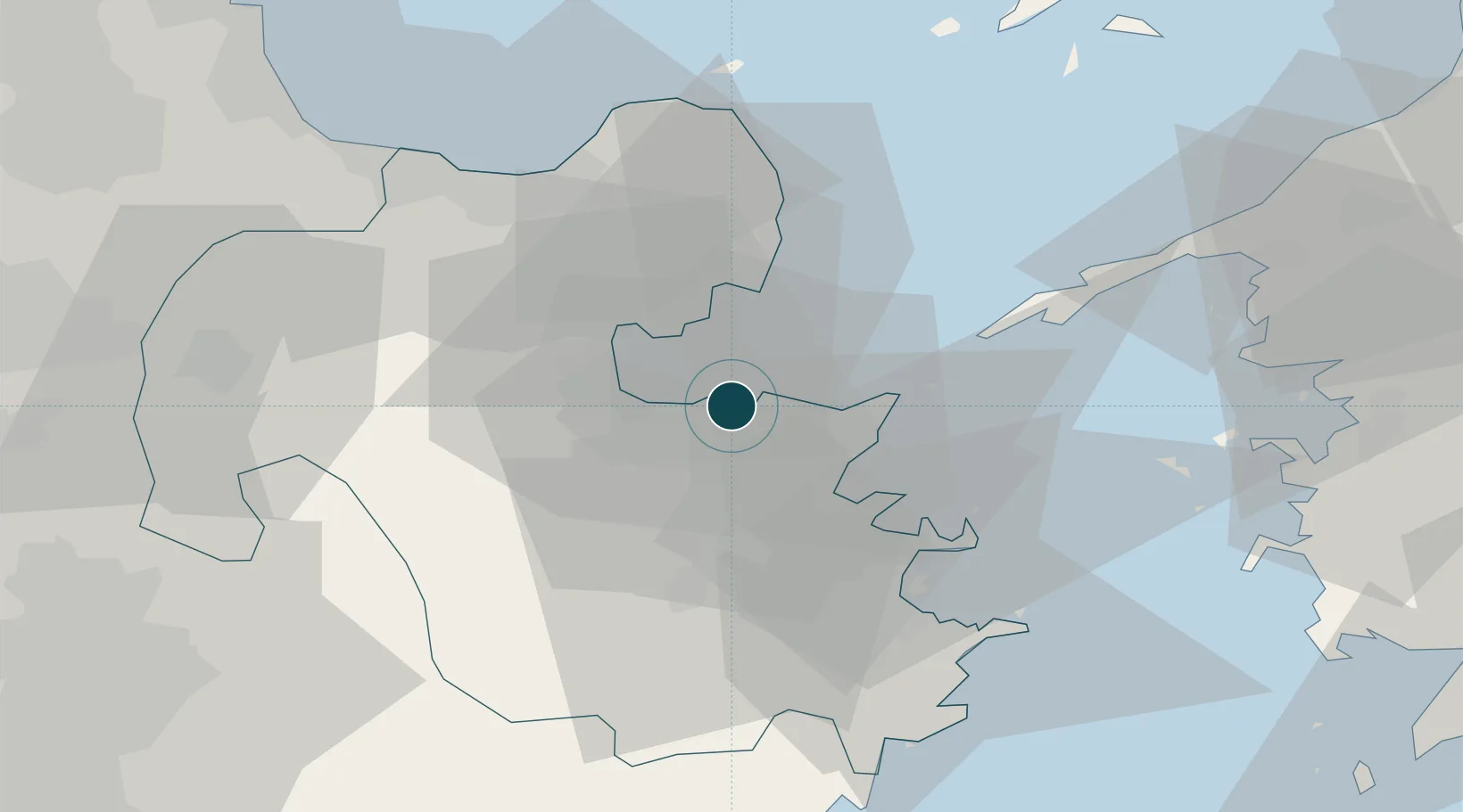
33.2500°, 131.6667°
23.2 m
Channel depth
1
Container terminals
57.7
Port liner connectivity
Channel & Berth Profile
Pilotage, Tugs & Services
Pilotage compulsoryNO
Pilotage availableYES
Pilotage advisableYES
Local assistanceYES
Tug assistanceYES
Shore powerYES
Potable waterYES
Diesel bunkersYES
MedicalYES
Facilities & Capabilities
Container—
Ro-Ro—
Liquid bulk—
Dry bulk—
Oil terminal—
Break bulk—
Dry dock—
RepairsNO
BunkeringYES
Rail linkYES
Dangerous cargo—
ISPS security—
Harbour Specifications
Harbour size
Very Small
Harbour type
Coastal (Breakwater)
Shelter
Fair
Water body
Korea Strait; North Pacific Ocean
Tidal range
2 m
Pilotage
No
Liner Connectivity
57.7
PLSCI
Port Liner Shipping Connectivity Index for Oita Ko, as published by UNCTAD for the latest available quarter. Higher values indicate stronger scheduled liner-shipping integration.
Shown relative to the highest per-port PLSCI in the dataset (1,657.9).
Location
Container Terminals · 1
OZAI CONTAINER TERMINAL OITA
OCT OZAI CONTAINER TERMINAL
Nearby Logistics Neighbours
Ports
- 1Beppu16 km
- 2Saganoseki Ko19 km
- 3Tsukumi Ko26 km
- 4Saiki Ko40 km
- 5Yawatahama73 km
Cities
- 1Kitsuki19 km
- 2Bungotakada39 km
- 3Usa43 km
- 4Aso62 km
- 5Buzen64 km
Airports
- 1Oita Airport26 km
- 2JASDF Tsuiki Air Base76 km
- 3Yamaguchi Ube Airport84 km
- 4JASDF Hofu Airfield88 km
- 5Kitakyushu Airport88 km
Trade Zones
DatabookThe Record of Consolidated Knowledge
Japan beyond logistics?