Medium airport · Japan
Yamaguchi Ube AirportRJDC
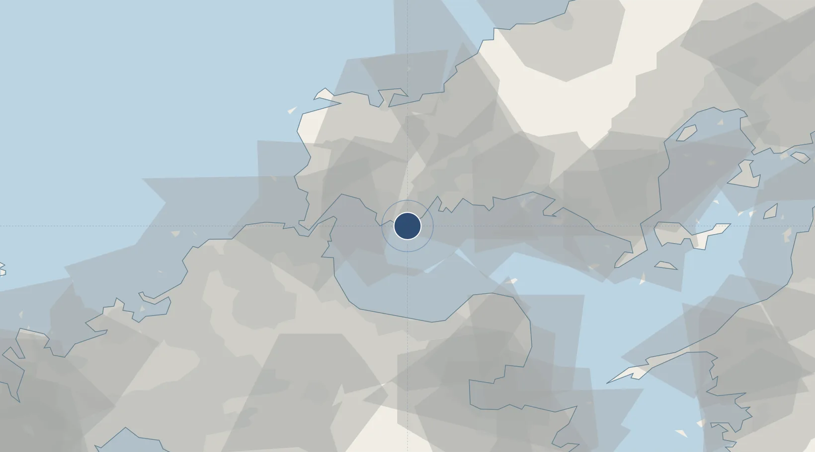
33.9300°, 131.2790°
8,200 ft
Longest runway
1
Runways
23 ft
Elevation
Runway & Layout

Radio Frequencies
RDO
118.05 MHz
UBE RDO
Navaids
UBE VOR-DME Ube 110.80 MHz
Runways · 1
| Runway | Dimensions | Surface | True heading | Lit |
|---|---|---|---|---|
| 07/25 | 8,200 × 150ft | Asphalt | 062° | ✓ |
Airport Specifications
IATA code
UBJ
ICAO code
RJDC
Airport class
Medium airport
Scheduled service
Yes
Runway surface
Asphalt
Served city
Ube
Location
Nearby Logistics Neighbours
Airports
- 1Kitakyushu Airport24 km
- 2JASDF Hofu Airfield28 km
- 3JASDF Tsuiki Air Base35 km
- 4JASDF Ashiya Air Base58 km
- 5Oita Airport66 km
Cities
- 1Ube4 km
- 2Sanyo Onoda Yamaguchi19 km
- 3Nakanoseki26 km
- 4Hofu28 km
- 5Moji/Kitakyushu28 km
Ports
- 1Ube Ko4 km
- 2Onoda12 km
- 3Moji Ko29 km
- 4Kanda29 km
- 5Shimonoseki32 km
Trade Zones
- 1Yamaguchi Next-Generation Agricultural Production Structure Establishment Special Zone61 km
- 2Higashi Kyushu Medical Valley Concept Special Zone85 km
- 3Green Asia International Strategic Comprehensive Special Zone87 km
- 4Kyushu Asia Tourism Island Comprehensive Special Zone90 km
- 5Fukuoka City Strategic Special Zone90 km
DatabookThe Record of Consolidated Knowledge
Japan beyond logistics?