Transport Functions
Multimodal
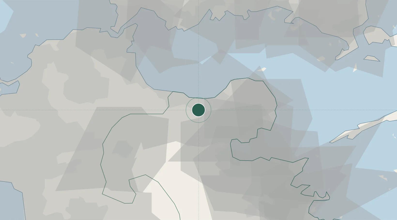
Hub Profile
Place type
Provincial seat
Region
Oita
Time zone
Asia/Tokyo
Elevation
183 m
Location
Nearby Logistics Neighbours
Cities
- 1Bungotakada11 km
- 2Buzen22 km
- 3Kitsuki29 km
- 4Hida, Oita43 km
- 5Oita45 km
Airports
- 1JASDF Tsuiki Air Base33 km
- 2Oita Airport38 km
- 3Kitakyushu Airport46 km
- 4Yamaguchi Ube Airport46 km
- 5JASDF Hofu Airfield61 km
Trade Zones
- 1Aso Grassland Special Zone66 km
- 2Yamaguchi Next-Generation Agricultural Production Structure Establishment Special Zone75 km
- 3Green Asia International Strategic Comprehensive Special Zone85 km
- 4Kyushu Asia Tourism Island Comprehensive Special Zone86 km
- 5Higashi Kyushu Medical Valley Concept Special Zone87 km
DatabookThe Record of Consolidated Knowledge
Japan beyond logistics?