Transport Functions
Multimodal
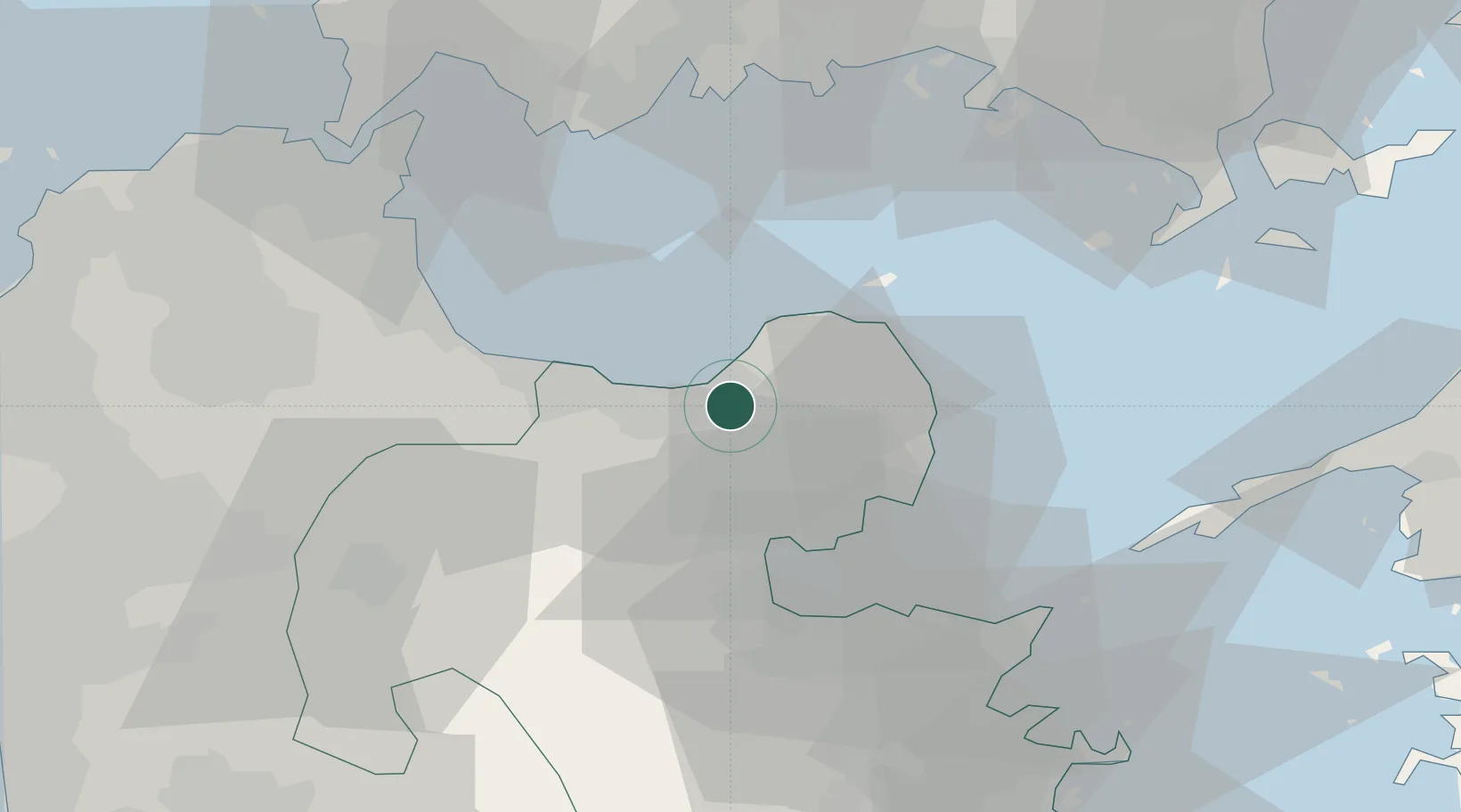
Hub Profile
Region
44
Location
Nearby Logistics Neighbours
Ports
- 1Beppu27 km
- 2Oita Ko39 km
- 3Ube Ko47 km
- 4Kanda48 km
- 5Saganoseki Ko51 km
Airports
- 1Oita Airport28 km
- 2JASDF Tsuiki Air Base41 km
- 3Yamaguchi Ube Airport45 km
- 4Kitakyushu Airport51 km
- 5JASDF Hofu Airfield55 km
Trade Zones
- 1Yamaguchi Next-Generation Agricultural Production Structure Establishment Special Zone65 km
- 2Aso Grassland Special Zone73 km
- 3Green Asia International Strategic Comprehensive Special Zone96 km
- 4Higashi Kyushu Medical Valley Concept Special Zone97 km
- 5Kyushu Asia Tourism Island Comprehensive Special Zone97 km
DatabookThe Record of Consolidated Knowledge
Japan beyond logistics?