Transport Functions
Road
Multimodal
Hub Profile
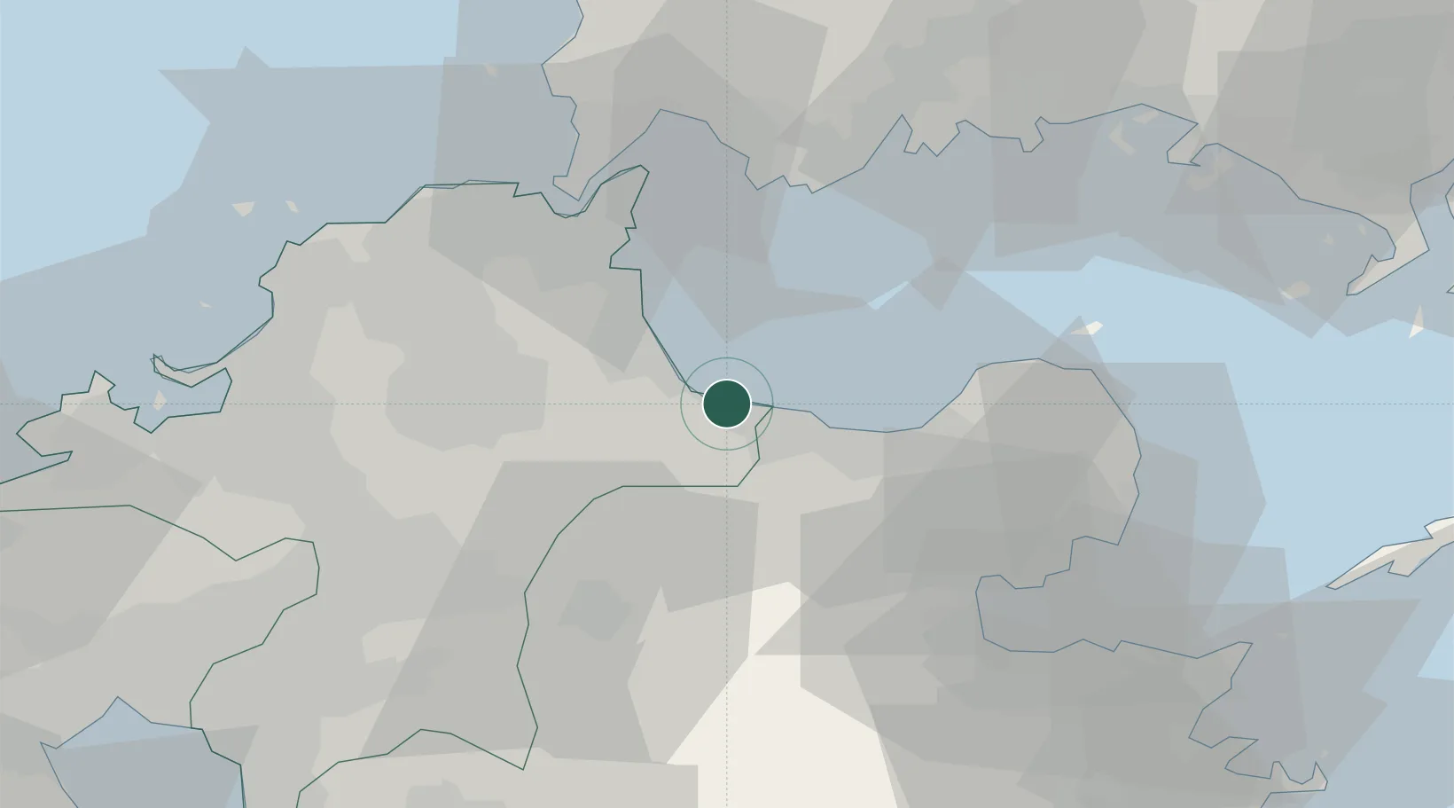
Place type
Provincial seat
Region
Fukuoka
Population
26,886
Time zone
Asia/Tokyo
Elevation
20 m
Location
Nearby Logistics Neighbours
Cities
- 1Usa22 km
- 2Bungotakada30 km
- 3Kokura31 km
- 4Shinmoji31 km
- 5Ube37 km
Ports
- 1Kanda21 km
- 2Ube Ko36 km
- 3Kokura Ko38 km
- 4Shimonoseki40 km
- 5Moji Ko40 km
Airports
- 1JASDF Tsuiki Air Base12 km
- 2Kitakyushu Airport27 km
- 3Yamaguchi Ube Airport37 km
- 4JASDF Ashiya Air Base53 km
- 5Oita Airport58 km
DatabookThe Record of Consolidated Knowledge
Japan beyond logistics?