Large airport · Japan
Kitakyushu AirportRJFR
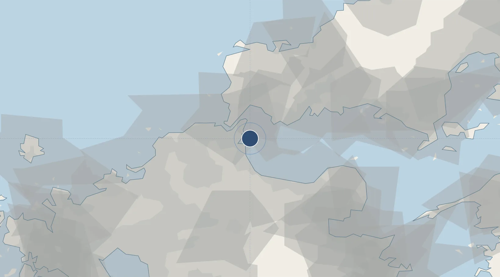
33.8459°, 131.0350°
8,202 ft
Longest runway
1
Runways
21 ft
Elevation
Runway & Layout

Radio Frequencies
RDO
118.85 MHz
Navaids
SWE VOR-DME Suoh 113.85 MHz
Runways · 1
| Runway | Dimensions | Surface | True heading | Lit |
|---|---|---|---|---|
| 18/36 | 8,202 × 197ft | Asphalt | 170° | ✓ |
Airport Specifications
IATA code
KKJ
ICAO code
RJFR
Airport class
Large airport
Scheduled service
Yes
Runway surface
Asphalt
Served city
Kitakyushu
Location
Nearby Logistics Neighbours
Airports
- 1JASDF Tsuiki Air Base18 km
- 2Yamaguchi Ube Airport24 km
- 3JASDF Ashiya Air Base36 km
- 4JASDF Hofu Airfield52 km
- 5Fukuoka Airport61 km
Cities
- 1Shinmoji5 km
- 2Kanmon13 km
- 3Moji/Kitakyushu13 km
- 4Kokura15 km
- 5Kitakyushu19 km
Ports
- 1Kanda7 km
- 2Moji Ko13 km
- 3Shimonoseki14 km
- 4Kokura Ko15 km
- 5Yahata20 km
Trade Zones
- 1Higashi Kyushu Medical Valley Concept Special Zone61 km
- 2Green Asia International Strategic Comprehensive Special Zone63 km
- 3Kyushu Asia Tourism Island Comprehensive Special Zone65 km
- 4Fukuoka City Strategic Special Zone66 km
- 5Yamaguchi Next-Generation Agricultural Production Structure Establishment Special Zone85 km
DatabookThe Record of Consolidated Knowledge
Japan beyond logistics?