Channel & Berth Profile
Pilotage, Tugs & Services
Pilotage compulsoryNO
Pilotage advisableYES
Tug assistanceYES
Potable waterYES
Facilities & Capabilities
Container—
Ro-Ro—
Liquid bulk—
Dry bulk—
Oil terminal—
Break bulk—
Dry dock—
RepairsNO
BunkeringYES
Rail linkYES
Dangerous cargo—
ISPS security—
Harbour Specifications
Harbour size
Very Small
Harbour type
Coastal (Natural)
Shelter
Fair
Water body
Sea of Japan; North Pacific Ocean
Tidal range
1 m
Pilotage
No
Location
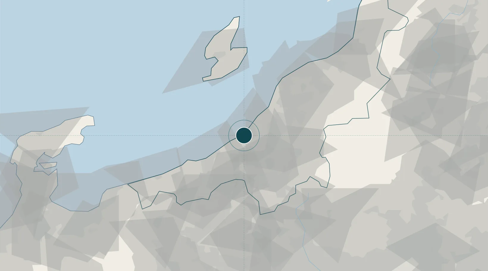
Nearby Logistics Neighbours
Ports
- 1Naoetsu Ko34 km
- 2Himekawa72 km
- 3Niigata Ko75 km
- 4Ryotu Ko80 km
- 5Eastern Part Of Niigata-Ko94 km
Airports
- 1Sado Airport78 km
- 2Niigata Airport82 km
- 3Noto Satoyama Airport141 km
- 4Shinshu-Matsumoto Airport145 km
- 5Toyama Kitokito Airport145 km
Trade Zones
- 1Nagaoka Independent Local Community Creation Special Zone10 km
- 2Niigata City Strategic Special Zone75 km
- 3Gunma Environmentally Friendly Livestock Promotion Special Zone85 km
- 4Gunma Cancer Treatment Technology Regional Revitalization Comprehensive Special Zone113 km
- 5Toyama Community-based Welfare Promotion Special Zone144 km
DatabookThe Record of Consolidated Knowledge
Japan beyond logistics?