Medium airport · Japan
Sado AirportRJSD
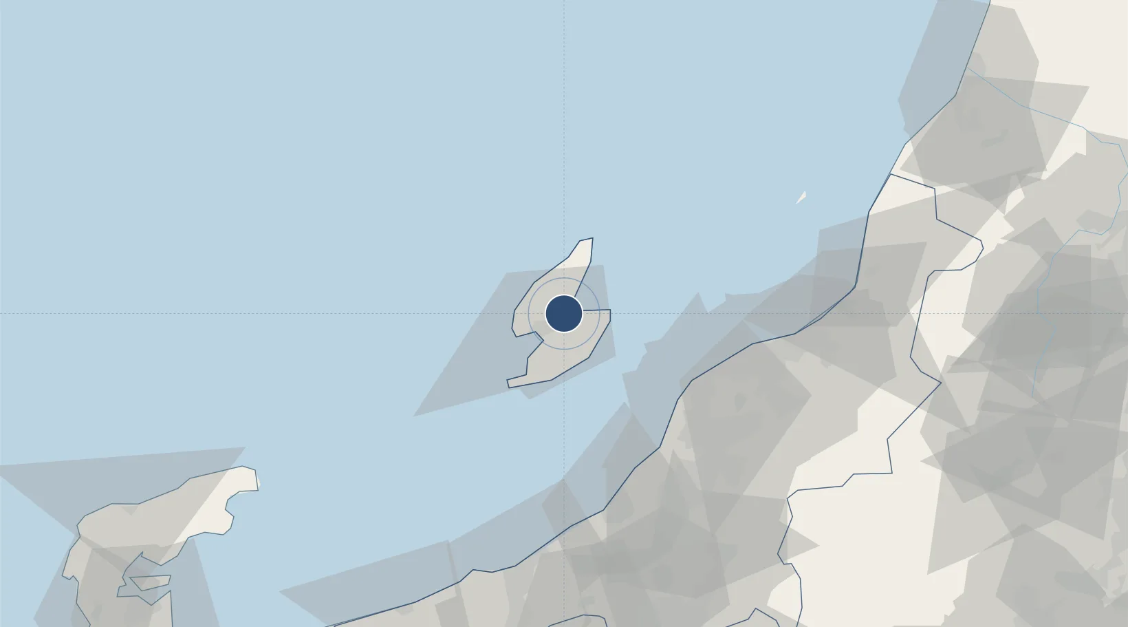
38.0602°, 138.4140°
3,390 ft
Longest runway
1
Runways
88 ft
Elevation
Runway & Layout

Radio Frequencies
RDO
118.15 MHz
REMOTE
Runways · 1
| Runway | Dimensions | Surface | True heading | Lit |
|---|---|---|---|---|
| 10/28 | 3,390 × 85ft | Asphalt | 096° | ✓ |
Airport Specifications
IATA code
SDS
ICAO code
RJSD
Airport class
Medium airport
Scheduled service
Yes
Runway surface
Asphalt
Served city
Sado
Location
Nearby Logistics Neighbours
Airports
- 1Niigata Airport62 km
- 2Shonai Airport146 km
- 3Noto Satoyama Airport154 km
- 4Yamagata Airport175 km
- 5Toyama Kitokito Airport191 km
Cities
- 1Yahiko54 km
- 2Tsubame65 km
- 3Niigata72 km
- 4Agano75 km
- 5Aga Niigata75 km
Ports
- 1Ryotu Ko14 km
- 2Niigata Ko58 km
- 3Eastern Part Of Niigata-Ko72 km
- 4Kashiwazaki78 km
- 5Naoetsu Ko99 km
Trade Zones
- 1Niigata City Strategic Special Zone57 km
- 2Nagaoka Independent Local Community Creation Special Zone71 km
- 3Gunma Environmentally Friendly Livestock Promotion Special Zone162 km
- 4Toyama Community-based Welfare Promotion Special Zone184 km
- 5Gunma Cancer Treatment Technology Regional Revitalization Comprehensive Special Zone190 km
DatabookThe Record of Consolidated Knowledge
Japan beyond logistics?