Diversified Zone · Japan
Toyama Community-based Welfare Promotion Special Zone Inactive
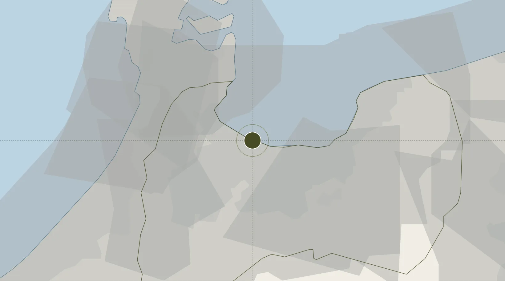
36.7785°, 137.1035°
124,177 ha
Zone area
3.0 km
Nearest port
16.3 km
Nearest airport
Gateway access
Zone profile
Zone type
Diversified Zone
Region
Toyama
Status
Inactive
Management
Public
Operator
Toyama Prefectural Government
Legal framework
March 29, 2019 De-designation
Location
Nearby Logistics Neighbours
Ports
- 1Fushiki-Toyama3 km
- 2Nanao Ko32 km
- 3Kanazawa48 km
- 4Himekawa72 km
- 5Naoetsu Ko111 km
Airports
- 1Toyama Kitokito Airport16 km
- 2Noto Satoyama Airport59 km
- 3Komatsu Airport / JASDF Komatsu Air Base76 km
- 4Shinshu-Matsumoto Airport100 km
- 5Fukui Airport106 km
Cities
- 1Toyamashinko1 km
- 2Toyama2 km
- 3Fushikitoyama3 km
- 4Tonami21 km
- 5Tateyama23 km
Trade Zones
- 1Nagaoka Independent Local Community Creation Special Zone152 km
- 2Gunma Environmentally Friendly Livestock Promotion Special Zone164 km
- 3Nagahama Bio-Life Science Special Zone175 km
- 4Gunma Cancer Treatment Technology Regional Revitalization Comprehensive Special Zone178 km
- 5Minami-Alps Competitiveness and Sustainability Special Zone179 km
DatabookThe Record of Consolidated Knowledge
Japan beyond logistics?