Transport Functions
Multimodal
Hub Profile
Place type
Provincial seat
Region
Niigata
Population
34,704
Time zone
Asia/Tokyo
Elevation
72 m
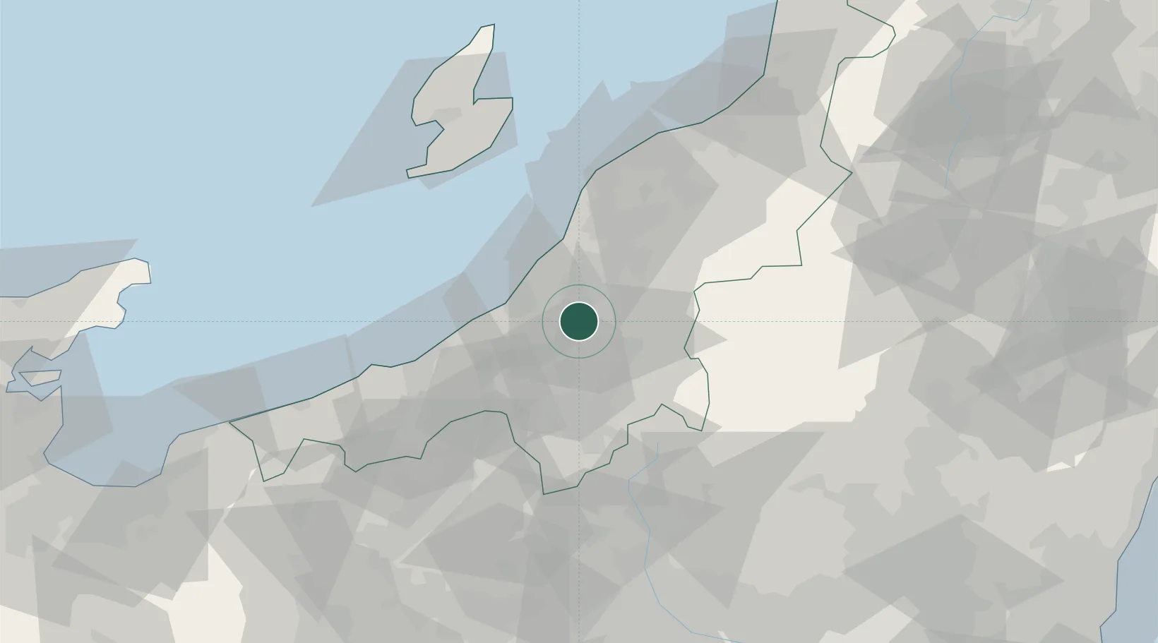
Location
Nearby Logistics Neighbours
Cities
- 1Uonuma17 km
- 2Tokamachi21 km
- 3Tsubame39 km
- 4Yuzawa, Niigata43 km
- 5Yahiko43 km
Ports
- 1Kashiwazaki23 km
- 2Naoetsu Ko51 km
- 3Niigata Ko70 km
- 4Eastern Part Of Niigata-Ko87 km
- 5Ryotu Ko88 km
Airports
- 1Niigata Airport76 km
- 2Sado Airport89 km
- 3Utsunomiya Airport131 km
- 4Fukushima Airport145 km
- 5Shinshu-Matsumoto Airport150 km
Trade Zones
- 1Nagaoka Independent Local Community Creation Special Zone22 km
- 2Niigata City Strategic Special Zone70 km
- 3Gunma Environmentally Friendly Livestock Promotion Special Zone73 km
- 4Gunma Cancer Treatment Technology Regional Revitalization Comprehensive Special Zone101 km
- 5Toyama Community-based Welfare Promotion Special Zone162 km
DatabookThe Record of Consolidated Knowledge
Japan beyond logistics?