Transport Functions
Port
Rail
Road
Hub Profile
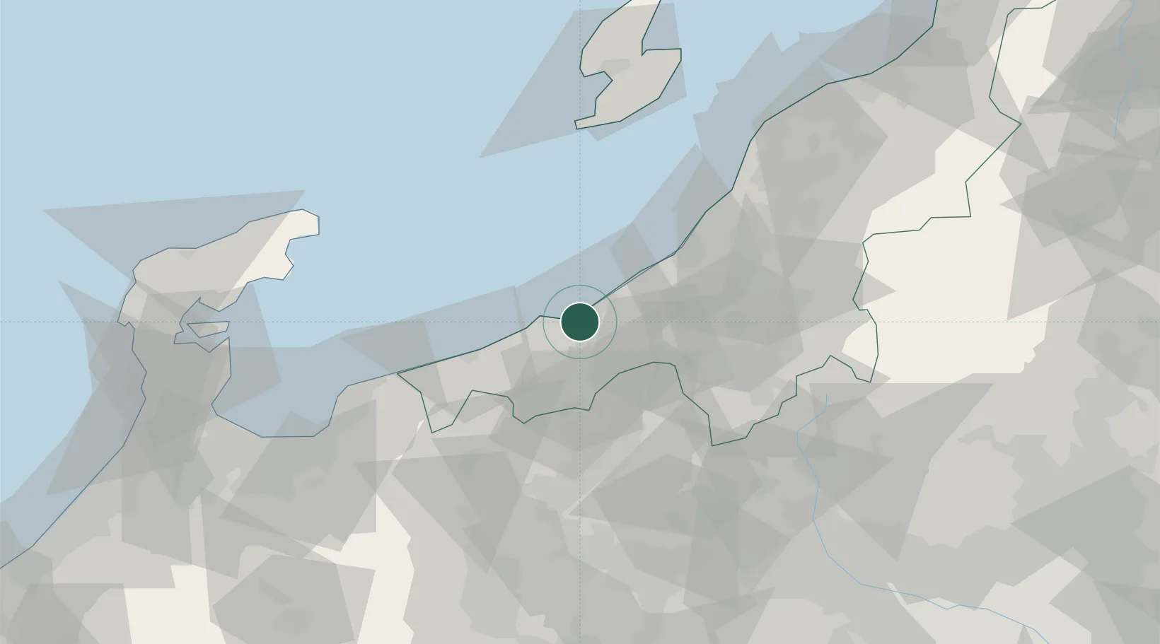
Place type
Provincial seat
Region
Niigata
Population
189,430
Time zone
Asia/Tokyo
Elevation
10 m
Location
Nearby Logistics Neighbours
Cities
- 1Naoetsu4 km
- 2Nozawaonsen31 km
- 3Omachi39 km
- 4Omi41 km
- 5Tokamachi47 km
Ports
- 1Naoetsu Ko4 km
- 2Himekawa36 km
- 3Kashiwazaki37 km
- 4Fushiki-Toyama107 km
- 5Ryotu Ko108 km
Airports
- 1Sado Airport103 km
- 2Toyama Kitokito Airport108 km
- 3Shinshu-Matsumoto Airport113 km
- 4Noto Satoyama Airport114 km
- 5Niigata Airport118 km
Trade Zones
- 1Nagaoka Independent Local Community Creation Special Zone46 km
- 2Gunma Environmentally Friendly Livestock Promotion Special Zone82 km
- 3Gunma Cancer Treatment Technology Regional Revitalization Comprehensive Special Zone108 km
- 4Toyama Community-based Welfare Promotion Special Zone109 km
- 5Niigata City Strategic Special Zone111 km
DatabookThe Record of Consolidated Knowledge
Japan beyond logistics?