Medium airport · Japan
Shinshu-Matsumoto AirportRJAF
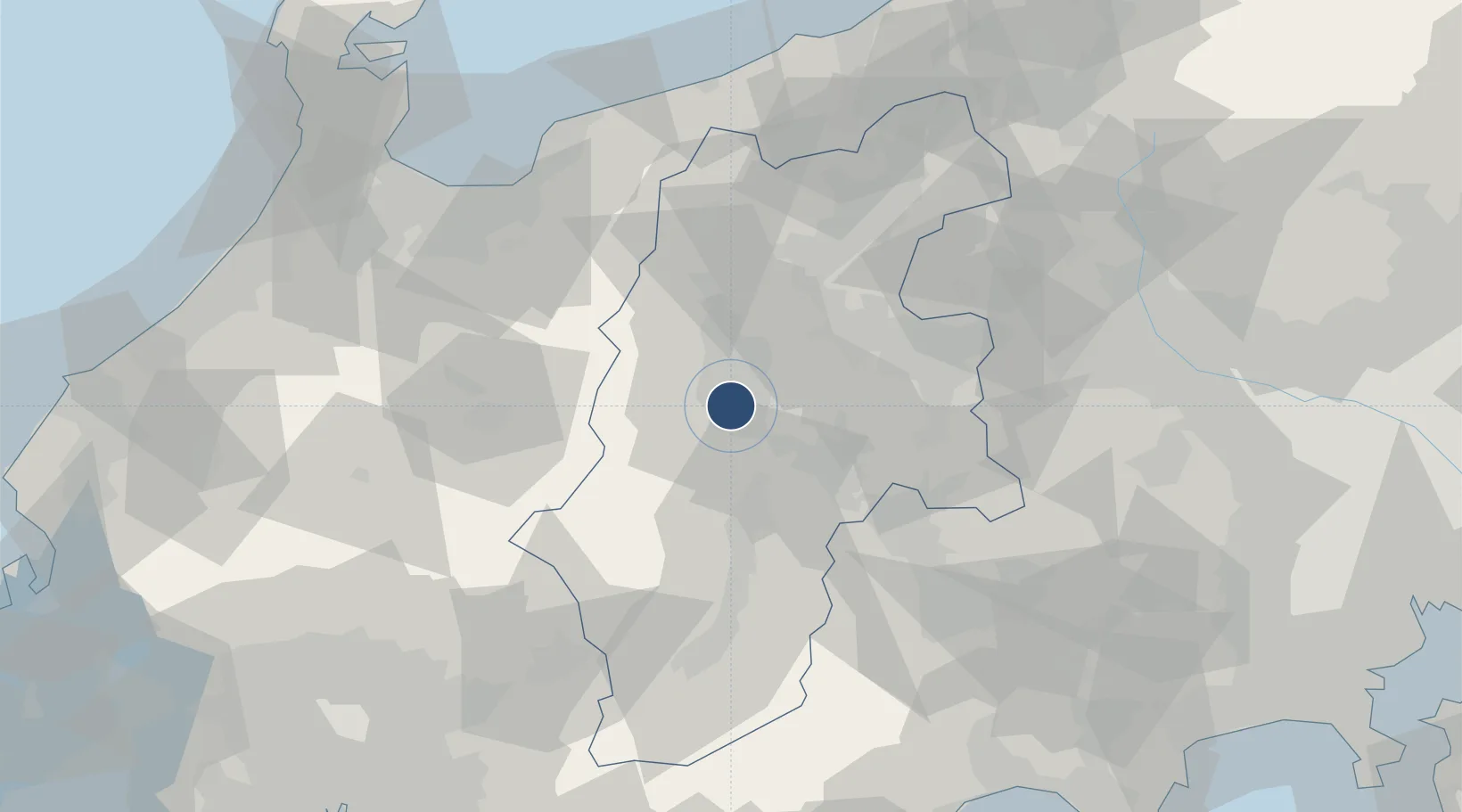
36.1668°, 137.9230°
6,560 ft
Longest runway
1
Runways
2,182 ft
Elevation
Runway & Layout

Radio Frequencies
ACC
132.45 MHz
TOKYO CON
RDO
118.65 MHz
Navaids
MBE VOR-DME Matsumoto 117.60 MHz
Runways · 1
| Runway | Dimensions | Surface | True heading | Lit |
|---|---|---|---|---|
| 18/36 | 6,560 × 150ft | Asphalt | 171° | ✓ |
Airport Specifications
IATA code
MMJ
ICAO code
RJAF
Airport class
Medium airport
Scheduled service
Yes
Runway surface
Asphalt
Served city
Matsumoto
Location
Nearby Logistics Neighbours
Airports
- 1Toyama Kitokito Airport85 km
- 2Gifu Airport128 km
- 3Nagoya Airport / JASDF Komaki Air Base136 km
- 4Yokota Air Base136 km
- 5Komatsu Airport / JASDF Komatsu Air Base138 km
Cities
- 1Shiojiri, Nagano8 km
- 2Azumino15 km
- 3Minowa, Nagano28 km
- 4Chino29 km
- 5Aoki, Nagano29 km
Ports
- 1Himekawa97 km
- 2Fushiki-Toyama97 km
- 3Naoetsu Ko117 km
- 4Kanazawa129 km
- 5Nanao Ko129 km
Trade Zones
- 1Minami-Alps Competitiveness and Sustainability Special Zone79 km
- 2Toyama Community-based Welfare Promotion Special Zone100 km
- 3Gunma Cancer Treatment Technology Regional Revitalization Comprehensive Special Zone105 km
- 4Gunma Environmentally Friendly Livestock Promotion Special Zone106 km
- 5Toyota Next Generation Energy and Mobility Creation Special Zone133 km
DatabookThe Record of Consolidated Knowledge
Japan beyond logistics?