Channel & Berth Profile
Pilotage, Tugs & Services
Pilotage compulsoryNO
Pilotage availableYES
Pilotage advisableYES
Potable waterYES
Facilities & Capabilities
Container—
Ro-Ro—
Liquid bulk—
Dry bulk—
Oil terminal—
Break bulk—
Dry dock—
Repairs—
BunkeringYES
Rail linkYES
Dangerous cargo—
ISPS security—
Harbour Specifications
Harbour size
Very Small
Harbour type
Coastal (Natural)
Shelter
Fair
Water body
Sea of Japan; North Pacific Ocean
Pilotage
No
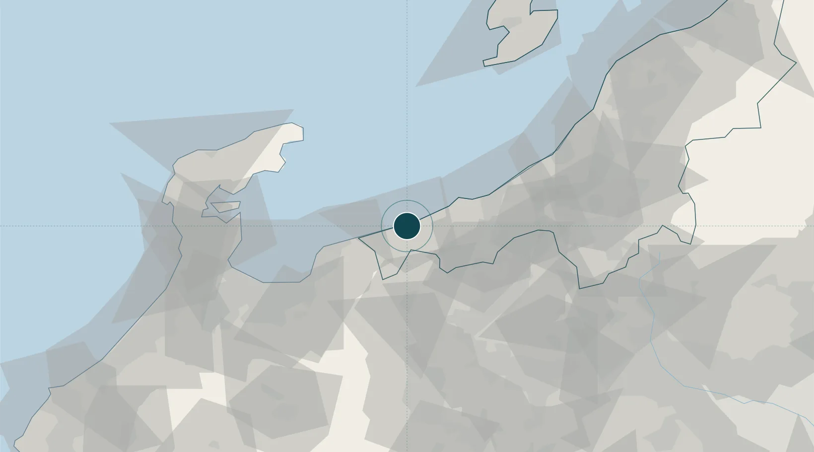
Location
Nearby Logistics Neighbours
Ports
- 1Naoetsu Ko39 km
- 2Fushiki-Toyama70 km
- 3Kashiwazaki72 km
- 4Nanao Ko77 km
- 5Kanazawa121 km
Cities
- 1Omi5 km
- 2Joetsu36 km
- 3Naoetsu40 km
- 4Kurobe40 km
- 5Nozawaonsen53 km
Airports
- 1Toyama Kitokito Airport73 km
- 2Noto Satoyama Airport84 km
- 3Shinshu-Matsumoto Airport97 km
- 4Sado Airport125 km
- 5Komatsu Airport / JASDF Komatsu Air Base147 km
Trade Zones
- 1Toyama Community-based Welfare Promotion Special Zone72 km
- 2Nagaoka Independent Local Community Creation Special Zone81 km
- 3Gunma Environmentally Friendly Livestock Promotion Special Zone105 km
- 4Gunma Cancer Treatment Technology Regional Revitalization Comprehensive Special Zone126 km
- 5Niigata City Strategic Special Zone144 km
DatabookThe Record of Consolidated Knowledge
Japan beyond logistics?