Transport Functions
Road
Multimodal
Hub Profile
Place type
Provincial seat
Region
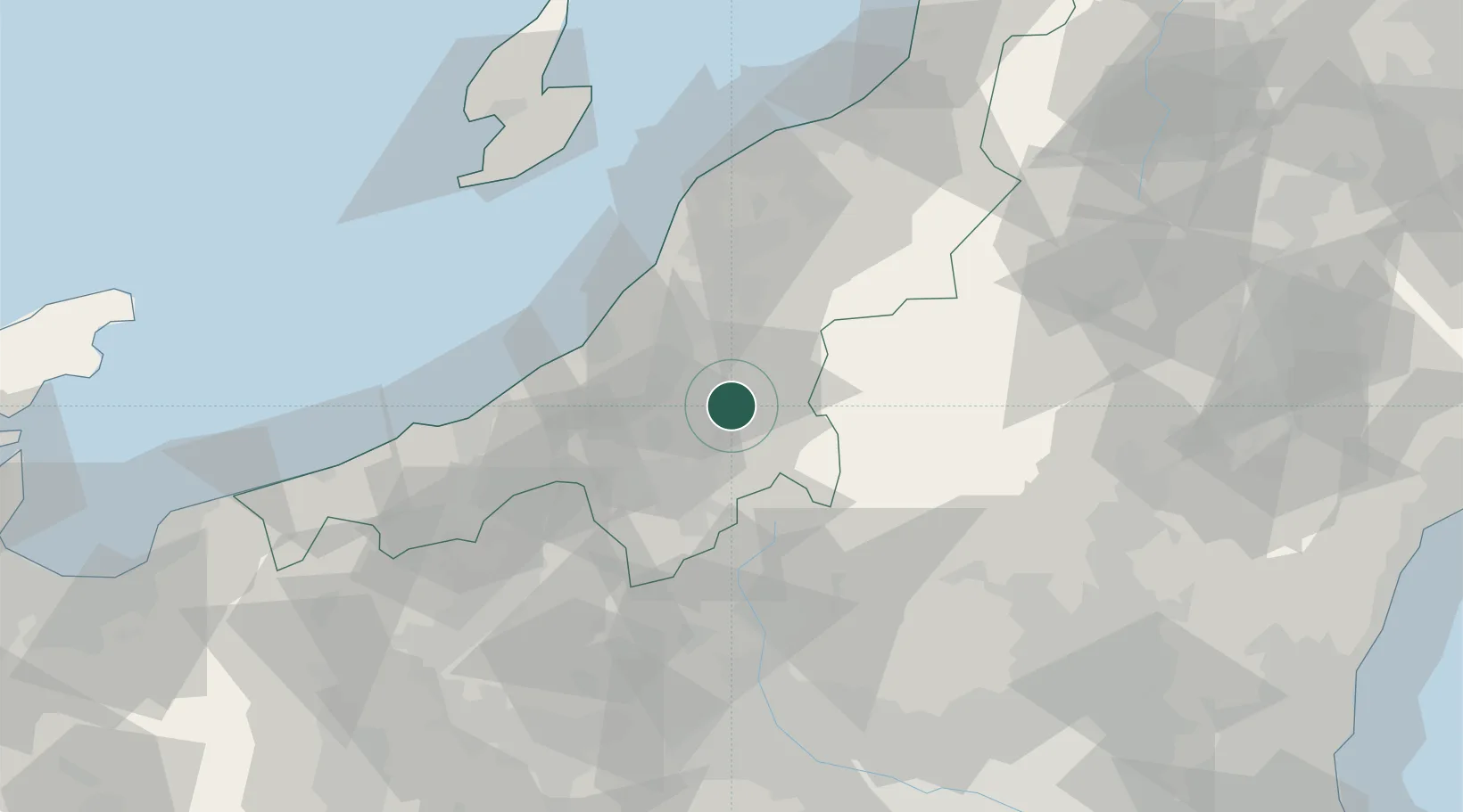
Niigata
Population
34,483
Time zone
Asia/Tokyo
Elevation
95 m
Location
Nearby Logistics Neighbours
Cities
- 1Ojiya17 km
- 2Tokamachi19 km
- 3Yuzawa, Niigata34 km
- 4Tsubame48 km
- 5Yahiko55 km
Ports
- 1Kashiwazaki39 km
- 2Naoetsu Ko62 km
- 3Niigata Ko78 km
- 4Eastern Part Of Niigata-Ko92 km
- 5Himekawa100 km
Airports
- 1Niigata Airport83 km
- 2Sado Airport105 km
- 3Utsunomiya Airport113 km
- 4Fukushima Airport131 km
- 5Shinshu-Matsumoto Airport148 km
Trade Zones
- 1Nagaoka Independent Local Community Creation Special Zone40 km
- 2Gunma Environmentally Friendly Livestock Promotion Special Zone61 km
- 3Niigata City Strategic Special Zone78 km
- 4Gunma Cancer Treatment Technology Regional Revitalization Comprehensive Special Zone88 km
- 5Saitama Next-Generation Automobile Smart Energy Special Zone159 km
DatabookThe Record of Consolidated Knowledge
Japan beyond logistics?