Transport Functions
Port
Hub Profile
Place type
Populated place
Region
Niigata
Time zone
Asia/Tokyo
Elevation
1 m
Logistics facilities
6
Container terminals
1
Location
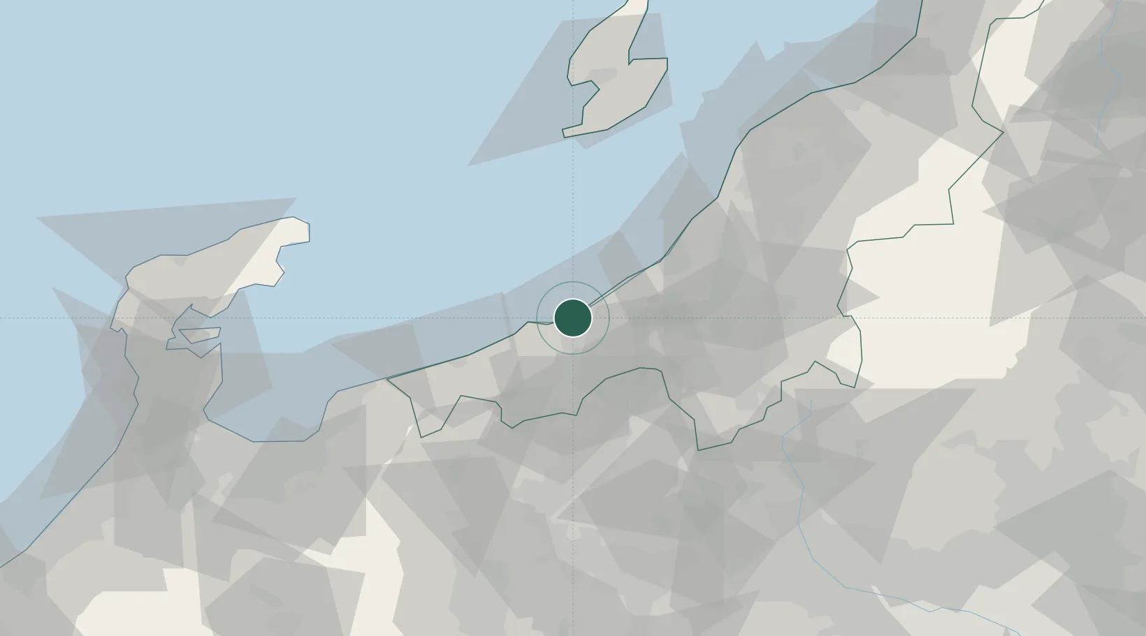
Nearby Logistics Neighbours
Cities
- 1Joetsu4 km
- 2Nozawaonsen34 km
- 3Omachi42 km
- 4Omi44 km
- 5Tokamachi46 km
Ports
- 1Kashiwazaki33 km
- 2Himekawa40 km
- 3Ryotu Ko104 km
- 4Niigata Ko108 km
- 5Fushiki-Toyama110 km
Airports
- 1Sado Airport98 km
- 2Toyama Kitokito Airport112 km
- 3Niigata Airport114 km
- 4Noto Satoyama Airport115 km
- 5Shinshu-Matsumoto Airport117 km
Trade Zones
- 1Nagaoka Independent Local Community Creation Special Zone42 km
- 2Gunma Environmentally Friendly Livestock Promotion Special Zone84 km
- 3Niigata City Strategic Special Zone107 km
- 4Gunma Cancer Treatment Technology Regional Revitalization Comprehensive Special Zone110 km
- 5Toyama Community-based Welfare Promotion Special Zone112 km
DatabookThe Record of Consolidated Knowledge
Japan beyond logistics?