Medium airport · Japan
Noto Satoyama AirportRJNW
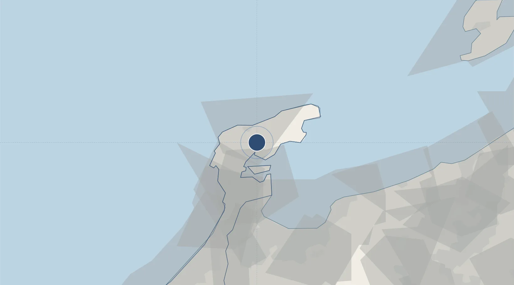
37.2931°, 136.9620°
6,562 ft
Longest runway
1
Runways
718 ft
Elevation
Runway & Layout

Radio Frequencies
ACC
132.45 MHz
TOKYO CON
RDO
118.05 MHz
Navaids
NTE VOR-DME Noto 111.45 MHz
Runways · 1
| Runway | Dimensions | Surface | True heading | Lit |
|---|---|---|---|---|
| 07/25 | 6,562 × 148ft | Asphalt | 067° | ✓ |
Airport Specifications
IATA code
NTQ
ICAO code
RJNW
Airport class
Medium airport
Scheduled service
Yes
Runway surface
Asphalt
Served city
Wajima
Location
Nearby Logistics Neighbours
Airports
- 1Toyama Kitokito Airport74 km
- 2Komatsu Airport / JASDF Komatsu Air Base112 km
- 3Fukui Airport144 km
- 4Shinshu-Matsumoto Airport152 km
- 5Sado Airport154 km
Cities
- 1Suzu30 km
- 2Nakanoto35 km
- 3Fushikitoyama57 km
- 4Toyama58 km
- 5Toyamashinko59 km
Ports
- 1Nanao Ko27 km
- 2Fushiki-Toyama61 km
- 3Kanazawa82 km
- 4Himekawa84 km
- 5Naoetsu Ko115 km
Trade Zones
- 1Toyama Community-based Welfare Promotion Special Zone59 km
- 2Nagaoka Independent Local Community Creation Special Zone146 km
- 3Gunma Environmentally Friendly Livestock Promotion Special Zone189 km
- 4Niigata City Strategic Special Zone195 km
- 5Gunma Cancer Treatment Technology Regional Revitalization Comprehensive Special Zone209 km
DatabookThe Record of Consolidated Knowledge
Japan beyond logistics?