Medium airport · Japan
Toyama Kitokito AirportRJNT
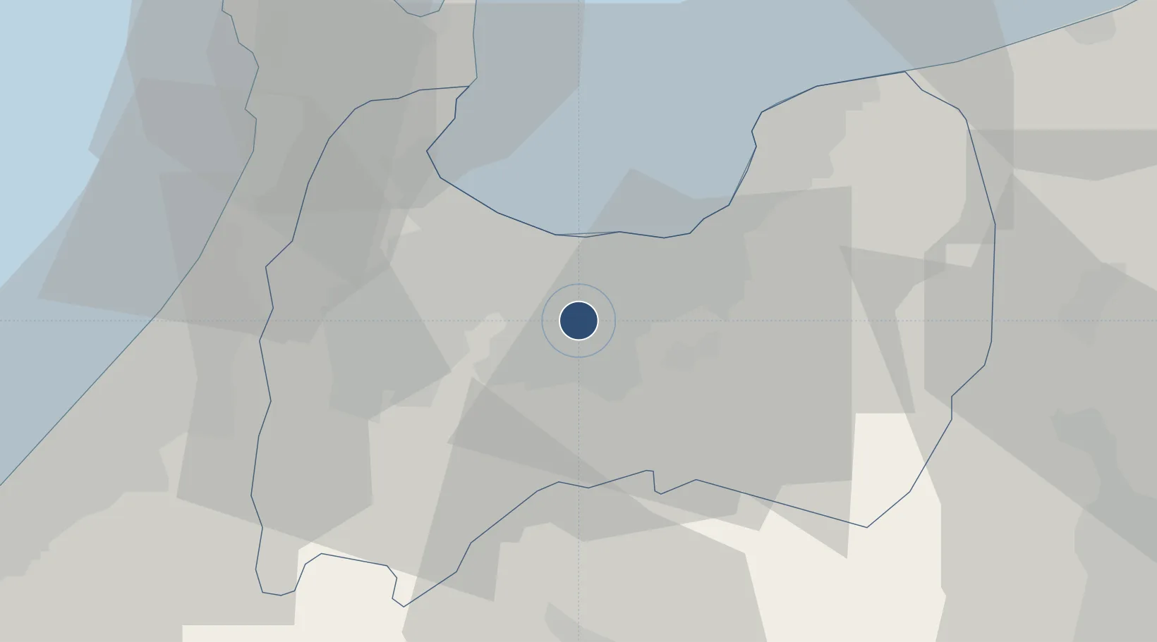
36.6484°, 137.1874°
6,562 ft
Longest runway
1
Runways
95 ft
Elevation
Runway & Layout

Radio Frequencies
TWR
124.3 MHz
Navaids
TOE VOR-DME Toyama 110.85 MHz
Runways · 1
| Runway | Dimensions | Surface | True heading | Lit |
|---|---|---|---|---|
| 02/20 | 6,562 × 150ft | Asphalt | 014° | ✓ |
Airport Specifications
IATA code
TOY
ICAO code
RJNT
Airport class
Medium airport
Scheduled service
Yes
Runway surface
Asphalt
Served city
Toyama
Location
Nearby Logistics Neighbours
Airports
- 1Noto Satoyama Airport74 km
- 2Komatsu Airport / JASDF Komatsu Air Base75 km
- 3Shinshu-Matsumoto Airport85 km
- 4Fukui Airport103 km
- 5Gifu Airport142 km
Cities
- 1Tateyama10 km
- 2Toyamashinko16 km
- 3Toyama18 km
- 4Fushikitoyama18 km
- 5Tonami21 km
Ports
- 1Fushiki-Toyama14 km
- 2Nanao Ko48 km
- 3Kanazawa53 km
- 4Himekawa73 km
- 5Fukui110 km
Trade Zones
- 1Toyama Community-based Welfare Promotion Special Zone16 km
- 2Nagaoka Independent Local Community Creation Special Zone154 km
- 3Gunma Environmentally Friendly Livestock Promotion Special Zone156 km
- 4Minami-Alps Competitiveness and Sustainability Special Zone163 km
- 5Nagahama Bio-Life Science Special Zone165 km
DatabookThe Record of Consolidated Knowledge
Japan beyond logistics?