Transport Functions
Road
Multimodal
Hub Profile
Place type
Provincial seat
Region
Niigata
Population
53,333
Time zone
Asia/Tokyo
Elevation
154 m
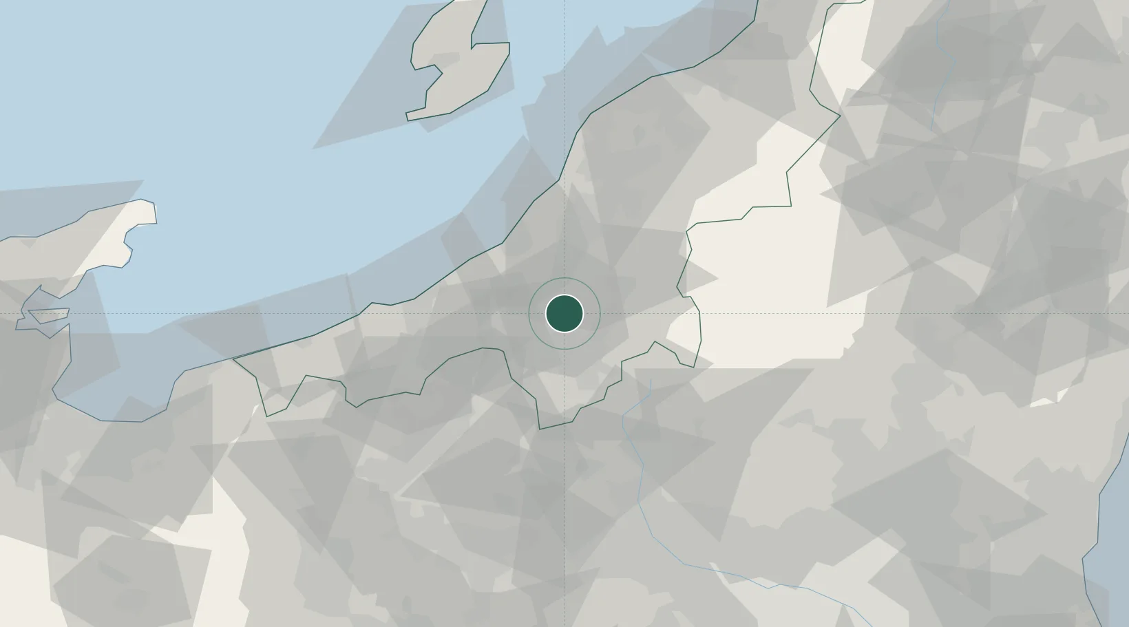
Location
Nearby Logistics Neighbours
Cities
- 1Uonuma19 km
- 2Ojiya21 km
- 3Yuzawa, Niigata23 km
- 4Nozawaonsen38 km
- 5Omachi46 km
Ports
- 1Kashiwazaki32 km
- 2Naoetsu Ko46 km
- 3Himekawa82 km
- 4Niigata Ko91 km
- 5Eastern Part Of Niigata-Ko107 km
Airports
- 1Niigata Airport96 km
- 2Sado Airport108 km
- 3Utsunomiya Airport120 km
- 4Shinshu-Matsumoto Airport131 km
- 5Fukushima Airport148 km
Trade Zones
- 1Nagaoka Independent Local Community Creation Special Zone37 km
- 2Gunma Environmentally Friendly Livestock Promotion Special Zone54 km
- 3Gunma Cancer Treatment Technology Regional Revitalization Comprehensive Special Zone82 km
- 4Niigata City Strategic Special Zone90 km
- 5Toyama Community-based Welfare Promotion Special Zone153 km
DatabookThe Record of Consolidated Knowledge
Japan beyond logistics?