Channel & Berth Profile
Pilotage, Tugs & Services
Potable waterYES
MedicalYES
Facilities & Capabilities
Container—
Ro-Ro—
Liquid bulk—
Dry bulk—
Oil terminal—
Break bulk—
Dry dock—
Repairs—
BunkeringYES
Rail link—
Dangerous cargo—
ISPS security—
Harbour Specifications
Harbour size
Very Small
Harbour type
Coastal (Natural)
Shelter
Fair
Water body
Sea of Japan; North Pacific Ocean
Tidal range
1 m
Overhead limit
Yes
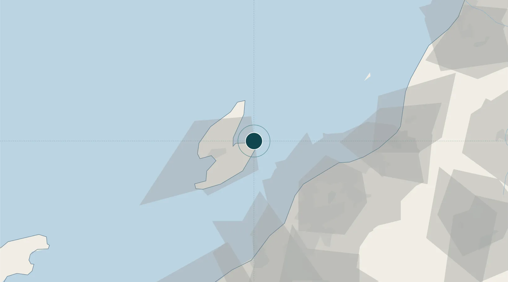
Location
Nearby Logistics Neighbours
Ports
- 1Niigata Ko46 km
- 2Eastern Part Of Niigata-Ko59 km
- 3Kashiwazaki80 km
- 4Naoetsu Ko104 km
- 5Himekawa133 km
Cities
- 1Yahiko49 km
- 2Tsubame58 km
- 3Niigata59 km
- 4Agano63 km
- 5Aga Niigata63 km
Airports
- 1Sado Airport14 km
- 2Niigata Airport50 km
- 3Shonai Airport134 km
- 4Yamagata Airport162 km
- 5Noto Satoyama Airport166 km
Trade Zones
- 1Niigata City Strategic Special Zone45 km
- 2Nagaoka Independent Local Community Creation Special Zone71 km
- 3Gunma Environmentally Friendly Livestock Promotion Special Zone161 km
- 4Gunma Cancer Treatment Technology Regional Revitalization Comprehensive Special Zone189 km
- 5Toyama Community-based Welfare Promotion Special Zone194 km
DatabookThe Record of Consolidated Knowledge
Japan beyond logistics?