Seaport · Japan
Kushiro KoJPKUH
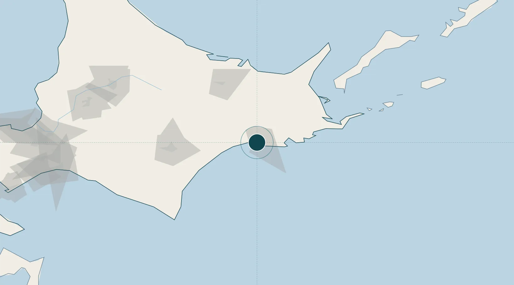
42.9833°, 144.3667°
9.4 m
Channel depth
1
Container terminals
16.2
Port liner connectivity
Channel & Berth Profile
Pilotage, Tugs & Services
Pilotage compulsoryNO
Pilotage availableYES
Pilotage advisableYES
Tug assistanceYES
Shore powerYES
Potable waterYES
Diesel bunkersYES
MedicalYES
Garbage disposalYES
Facilities & Capabilities
Container—
Ro-Ro—
Liquid bulk—
Dry bulk—
Oil terminal—
Break bulk—
Dry dock—
RepairsNO
BunkeringYES
Rail linkYES
Dangerous cargo—
ISPS security—
Harbour Specifications
Harbour size
Medium
Harbour type
Coastal (Breakwater)
Shelter
Good
Water body
North Pacific Ocean
Tidal range
2 m
Overhead limit
Yes
Pilotage
No
Liner Connectivity
16.2
PLSCI
Port Liner Shipping Connectivity Index for Kushiro Ko, as published by UNCTAD for the latest available quarter. Higher values indicate stronger scheduled liner-shipping integration.
Shown relative to the highest per-port PLSCI in the dataset (1,657.9).
Location
Container Terminals · 1
KUSHIRO WEST PORT CONTAINER TERMINAL
WPCT KUSHIRO PORT AUTHORITY
Nearby Logistics Neighbours
Ports
- 1Hanasaki Ko104 km
- 2Nemuro Ko106 km
- 3Abashiri Ko115 km
- 4Tokachi119 km
- 5Wakkanai223 km
Cities
- 1Shiranuka23 km
- 2Shibetsu96 km
- 3Yuzhno-Kuril'sk167 km
- 4Niikappu181 km
- 5Takikawa, Hokkaido209 km
Airports
- 1Kushiro Airport16 km
- 2JASDF Kenebetsu Airfield58 km
- 3Nakashibetsu Airport82 km
- 4Tokachi-Obihiro Airport98 km
- 5Tokachi Airport99 km
DatabookThe Record of Consolidated Knowledge
Japan beyond logistics?