Channel & Berth Profile
Pilotage, Tugs & Services
Pilotage compulsoryNO
Pilotage availableYES
Pilotage advisableYES
Tug assistanceYES
Potable waterYES
Facilities & Capabilities
Container—
Ro-Ro—
Liquid bulk—
Dry bulk—
Oil terminal—
Break bulk—
Dry dock—
Repairs—
BunkeringNO
Rail link—
Dangerous cargo—
ISPS security—
Harbour Specifications
Harbour size
Very Small
Harbour type
Coastal (Breakwater)
Shelter
Fair
Water body
North Pacific Ocean
Tidal range
2 m
Overhead limit
No
Pilotage
No
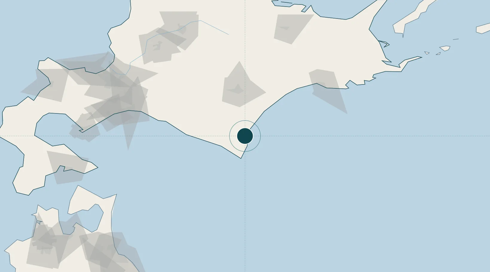
Location
Nearby Logistics Neighbours
Ports
- 1Kushiro Ko119 km
- 2Tomakomai Ko143 km
- 3Wakkanai185 km
- 4Muroran Ko192 km
- 5Ishikari Bay New Port197 km
Airports
- 1Tokachi-Obihiro Airport54 km
- 2Tokachi Airport72 km
- 3Kushiro Airport114 km
- 4New Chitose Airport144 km
- 5JASDF Chitose Air Base147 km
DatabookThe Record of Consolidated Knowledge
Japan beyond logistics?