Medium airport · Japan
Nakashibetsu AirportRJCN
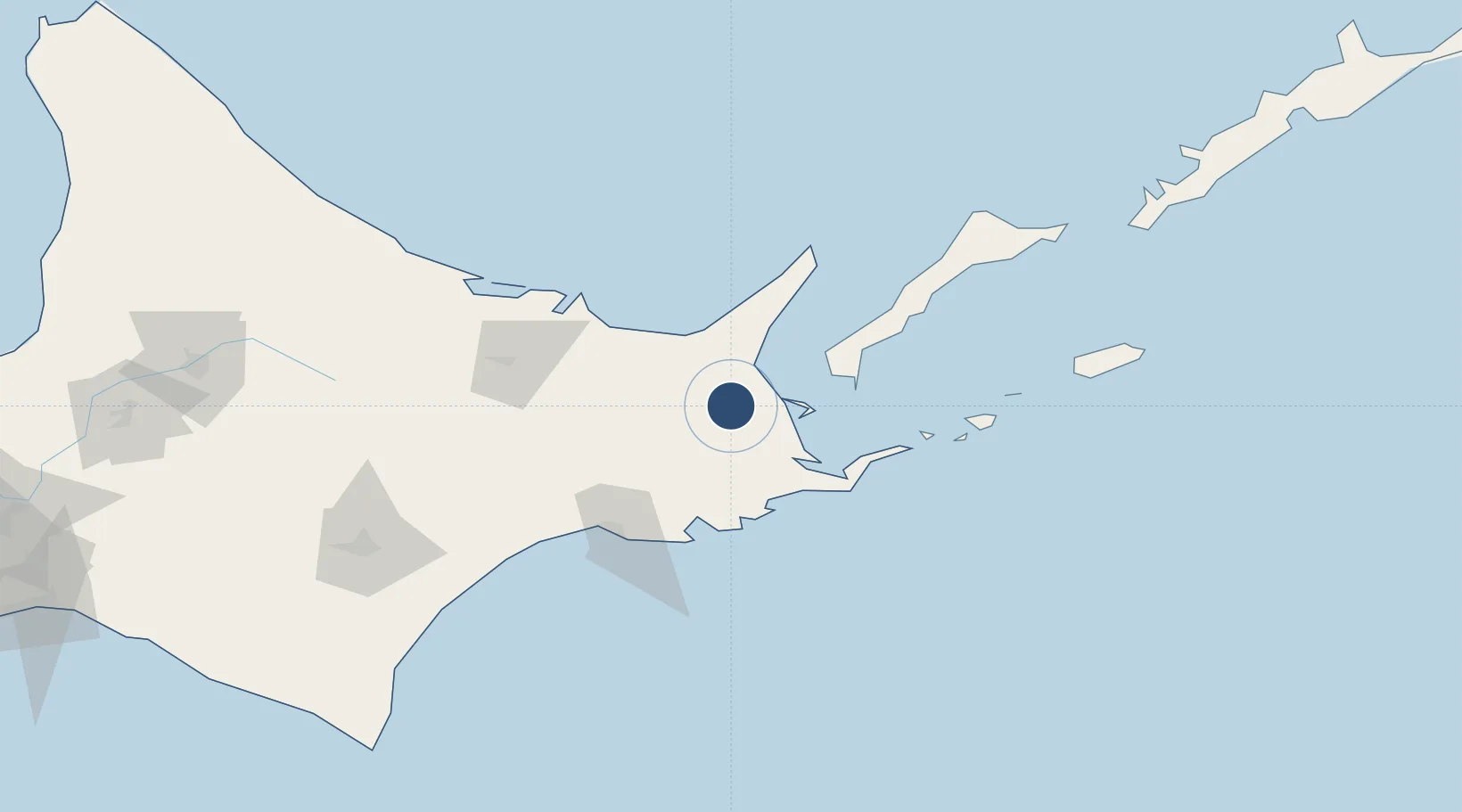
43.5775°, 144.9600°
6,560 ft
Longest runway
1
Runways
234 ft
Elevation
Runway & Layout

Radio Frequencies
RDO
122.7 MHz
Navaids
NSE VOR-DME Nakashibetsu 111.45 MHz
Runways · 1
| Runway | Dimensions | Surface | True heading | Lit |
|---|---|---|---|---|
| 08/26 | 6,560 × 150ft | Asphalt | 071° | ✓ |
Airport Specifications
IATA code
SHB
ICAO code
RJCN
Airport class
Medium airport
Scheduled service
Yes
Runway surface
Asphalt
Served city
Nakashibetsu
Location
Nearby Logistics Neighbours
Airports
- 1JASDF Kenebetsu Airfield25 km
- 2Yuzhno-Kurilsk Mendeleyevo Airport72 km
- 3Memanbetsu Airport72 km
- 4Kushiro Airport86 km
- 5Monbetsu Airport149 km
Cities
- 1Shibetsu15 km
- 2Kushiro82 km
- 3Yuzhno-Kuril'sk88 km
- 4Shiranuka100 km
- 5Takikawa, Hokkaido247 km
Ports
- 1Nemuro Ko57 km
- 2Hanasaki Ko60 km
- 3Abashiri Ko73 km
- 4Kushiro Ko82 km
- 5Tokachi200 km
DatabookThe Record of Consolidated Knowledge
Japan beyond logistics?