UN/LOCODE hub · Japan
JPSBH

Shibetsu

43.6500°, 145.1167°
21,744
Population
2
Transport functions

Transport Functions

Port
Multimodal
UN/LOCODE

Hub Profile

Place type
Populated place
GeoNames
Region
Hokkaido
GeoNames
Population
21,744
GeoNames
Time zone
Asia/Tokyo
GeoNames
Elevation
2 m
GeoNames

Location

Location of JPSBH
Natural Earth 10m (public domain) · Hokkaido · JPSBH · 43.65, 145.12GoogleOSMYandex

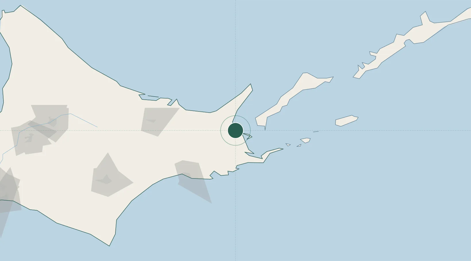
Nearby Logistics Neighbours

Cities
  1. 1Yuzhno-Kuril'sk73 km
  2. 2Kushiro97 km
  3. 3Shiranuka114 km
  4. 4Kuril'skiy Burevestnik AFB (Burevestnik AFB)246 km
  5. 5Takikawa, Hokkaido259 km
Nearest neighbours — logibook spatial index (haversine) over the source coordinates
Ports
  1. 1Nemuro Ko52 km
  2. 2Hanasaki Ko56 km
  3. 3Abashiri Ko78 km
  4. 4Kushiro Ko96 km
  5. 5Tokachi215 km
Nearest neighbours — logibook spatial index (haversine) over the source coordinates
Airports
  1. 1Nakashibetsu Airport15 km
  2. 2JASDF Kenebetsu Airfield39 km
  3. 3Yuzhno-Kurilsk Mendeleyevo Airport57 km
  4. 4Memanbetsu Airport81 km
  5. 5Kushiro Airport101 km
Nearest neighbours — logibook spatial index (haversine) over the source coordinates
DatabookThe Record of Consolidated Knowledge
Japan beyond logistics?
Browse databook

All Sources

LocationsUN/LOCODE
UN/LOCODE — free
LocationsGeoNames
CC BY 4.0
Portsthe NGA World Port Index
Public domain (US gov)
AirportsOurAirports
Public domain
Trade Zonesthe World Bank SEZ database
CC BY 4.0
Trade ZonesOpen Zone Map
CC BY
← Japan locations