Channel & Berth Profile
Pilotage, Tugs & Services
Potable waterYES
Facilities & Capabilities
Container—
Ro-Ro—
Liquid bulk—
Dry bulk—
Oil terminal—
Break bulk—
Dry dock—
Repairs—
BunkeringYES
Rail link—
Dangerous cargo—
ISPS security—
Harbour Specifications
Harbour size
Very Small
Harbour type
Coastal (Breakwater)
Shelter
Fair
Water body
North Pacific Ocean
Tidal range
3 m
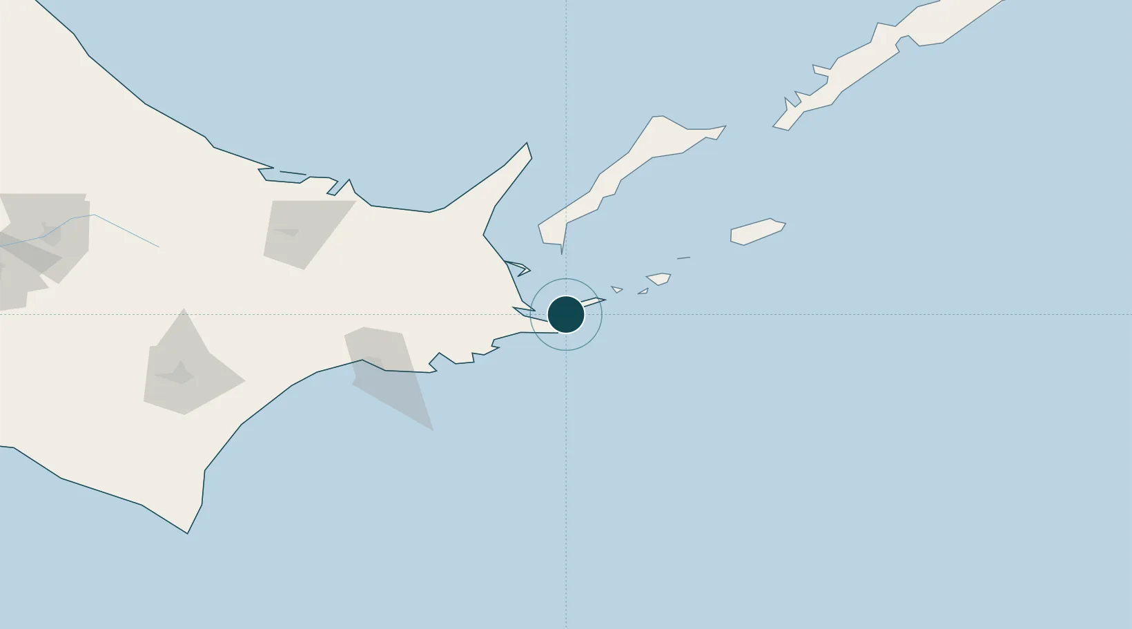
Location
Nearby Logistics Neighbours
Ports
- 1Nemuro Ko6 km
- 2Kushiro Ko104 km
- 3Abashiri Ko133 km
- 4Tokachi219 km
- 5Wakkanai316 km
Cities
- 1Shibetsu56 km
- 2Yuzhno-Kuril'sk86 km
- 3Kushiro107 km
- 4Shiranuka127 km
- 5Kuril'skiy Burevestnik AFB (Burevestnik AFB)246 km
Airports
- 1Nakashibetsu Airport60 km
- 2JASDF Kenebetsu Airfield70 km
- 3Yuzhno-Kurilsk Mendeleyevo Airport76 km
- 4Kushiro Airport116 km
- 5Memanbetsu Airport132 km
DatabookThe Record of Consolidated Knowledge
Japan beyond logistics?