Medium airport · Japan
Tokachi AirportRJCT
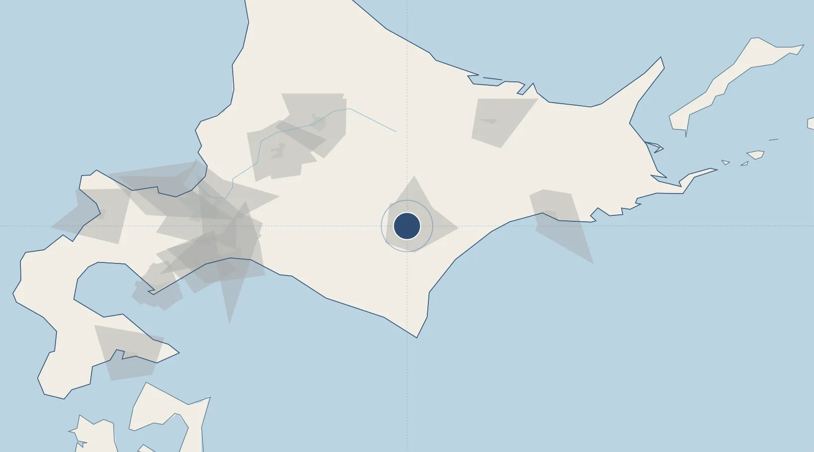
42.8905°, 143.1580°
4,920 ft
Longest runway
2
Runways
281 ft
Elevation
Runway & Layout

Radio Frequencies
TWR
126.2 MHz
Navaids
OH NDB Tokachi 239 kHz
Runways · 2
| Runway | Dimensions | Surface | True heading | Lit |
|---|---|---|---|---|
| 13/31 | 4,920 × 150ft | Asphalt | 123° | ✓ |
| 13L/31R | 1,308 × 75ft | Graded earth | 124° | — |
Airport Specifications
ICAO code
RJCT
Airport class
Medium airport
Scheduled service
No
Runway surface
Asphalt
Served city
Obihiro
Location
Nearby Logistics Neighbours
Airports
- 1Tokachi-Obihiro Airport18 km
- 2Kushiro Airport86 km
- 3Asahikawa Airport104 km
- 4New Chitose Airport120 km
- 5JASDF Chitose Air Base122 km
Ports
- 1Tokachi72 km
- 2Kushiro Ko99 km
- 3Tomakomai Ko128 km
- 4Wakkanai133 km
- 5Abashiri Ko155 km
DatabookThe Record of Consolidated Knowledge
Japan beyond logistics?