Channel & Berth Profile
Pilotage, Tugs & Services
Potable waterYES
MedicalYES
Facilities & Capabilities
Container—
Ro-Ro—
Liquid bulk—
Dry bulk—
Oil terminal—
Break bulk—
Dry dock—
Repairs—
BunkeringYES
Rail linkYES
Dangerous cargo—
ISPS security—
Harbour Specifications
Harbour size
Small
Harbour type
Coastal (Breakwater)
Water body
North Pacific Ocean
Tidal range
2 m
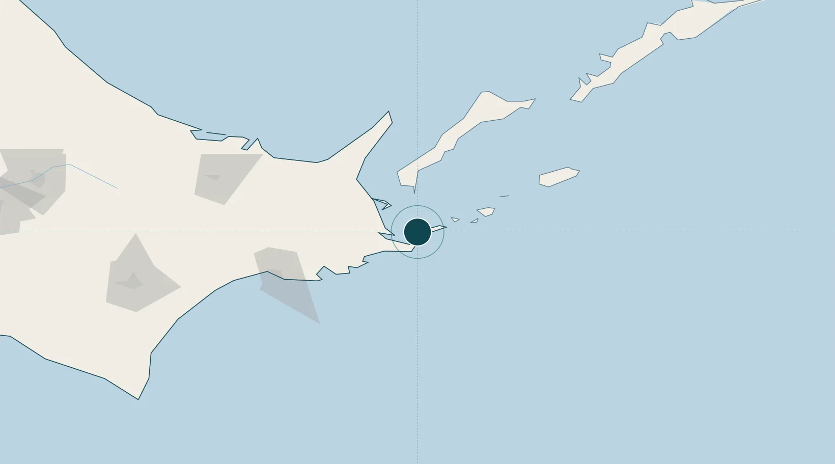
Location
Nearby Logistics Neighbours
Ports
- 1Hanasaki Ko6 km
- 2Kushiro Ko106 km
- 3Abashiri Ko129 km
- 4Tokachi222 km
- 5Wakkanai315 km
Cities
- 1Shibetsu52 km
- 2Yuzhno-Kuril'sk81 km
- 3Kushiro109 km
- 4Shiranuka129 km
- 5Kuril'skiy Burevestnik AFB (Burevestnik AFB)242 km
Airports
- 1Nakashibetsu Airport57 km
- 2JASDF Kenebetsu Airfield69 km
- 3Yuzhno-Kurilsk Mendeleyevo Airport70 km
- 4Kushiro Airport117 km
- 5Memanbetsu Airport130 km
DatabookThe Record of Consolidated Knowledge
Japan beyond logistics?