Specialized Zone · Japan

Forest General Industrial Special Zone Active
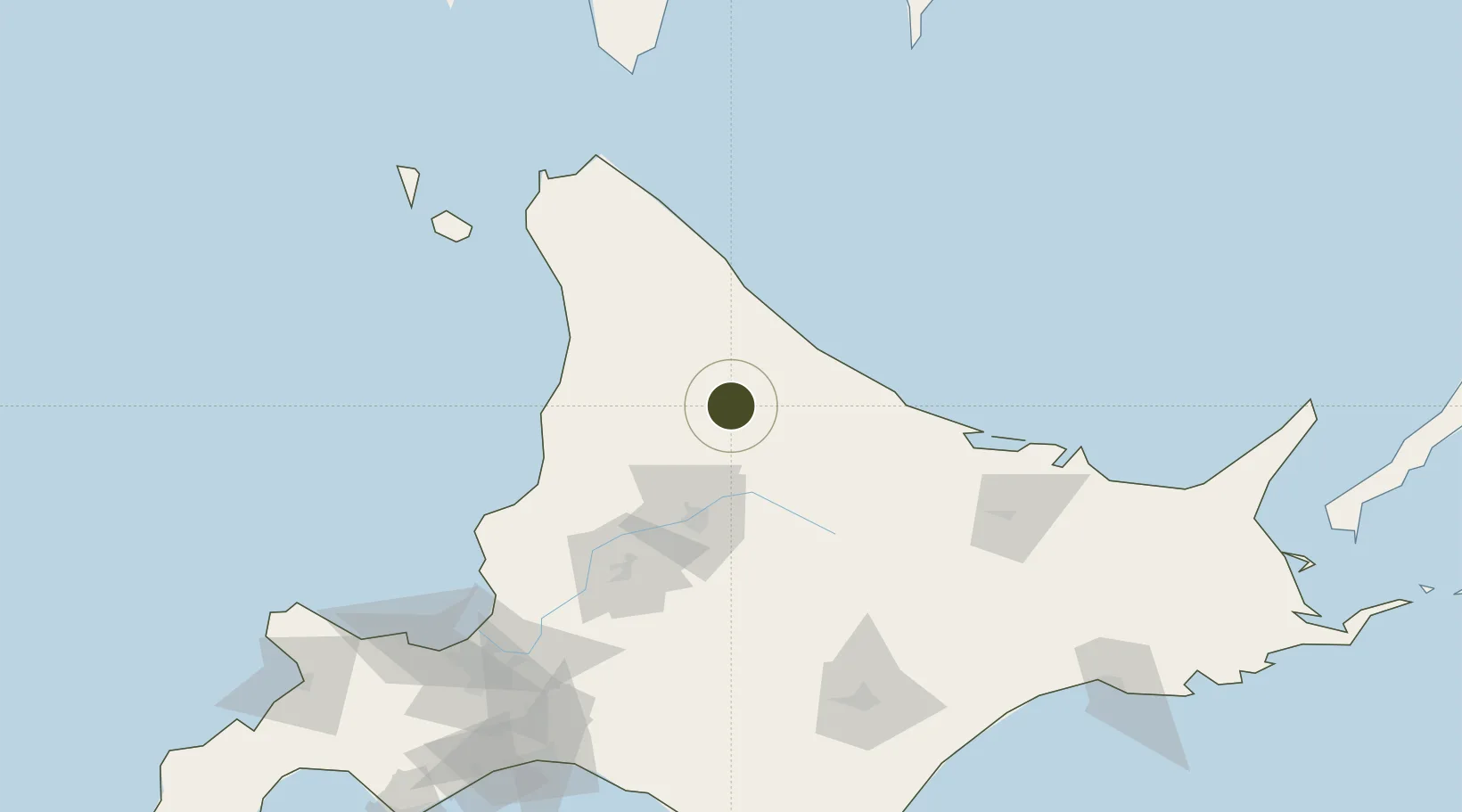
44.3137°, 142.5665°
644,000 ha
Zone area
84.7 km
Nearest port
66.7 km
Nearest airport

Gateway access

Nearest neighbours — logibook spatial index (haversine) over the source coordinates

Zone profile

Zone type
Specialized Zone
Open Zone Map
Specialization
Agriculture
Open Zone Map
Region
Hokkaidō
Open Zone Map
Status
Active
Open Zone Map
Management
Public
Open Zone Map
Operator
Shimokawa Town Hall - Forest General Industry Promotion Division
Open Zone Map
Legal framework
Hokkaido Regional Reactivation Policy
Open Zone Map

Location

Location of ozm-2593
Natural Earth 10m (public domain) · Hokkaidō · ozm-2593 · 44.31, 142.57GoogleOSMYandex

Nearby Logistics Neighbours

Ports
  1. 1Rumoi Ko85 km
  2. 2Wakkanai122 km
  3. 3Abashiri Ko141 km
  4. 4Ishikari Bay New Port160 km
  5. 5Otaru Ko176 km
Nearest neighbours — logibook spatial index (haversine) over the source coordinates
Airports
  1. 1Monbetsu Airport67 km
  2. 2Asahikawa Airport72 km
  3. 3Wakkanai Airport135 km
  4. 4Memanbetsu Airport136 km
  5. 5Rishiri Airport150 km
Nearest neighbours — logibook spatial index (haversine) over the source coordinates
Cities
  1. 1Takikawa, Hokkaido100 km
  2. 2Iwamizawa140 km
  3. 3Ishikariwan Shinko161 km
  4. 4Ishikari162 km
  5. 5Sapporo170 km
Nearest neighbours — logibook spatial index (haversine) over the source coordinates
Trade Zones
  1. 1Sapporo Contents Special Zone170 km
  2. 2Hokkaido Food Complex International Strategic Comprehensive Special Zone170 km
  3. 3Semboku City Strategic Special Zone535 km
  4. 4Sovetskaya Gavan Free Zone547 km
  5. 5Sendai City Strategic Special Zone687 km
Nearest neighbours — logibook spatial index (haversine) over the source coordinates
DatabookThe Record of Consolidated Knowledge
Japan beyond logistics?
Browse databook

All Sources

Trade ZonesOpen Zone Map
CC BY
Portsthe NGA World Port Index
Public domain (US gov)
AirportsOurAirports
Public domain
LocationsUN/LOCODE
UN/LOCODE — free
← Japan trade zones