UN/LOCODE hub · Japan
JPXCA

Niikappu

42.3667°, 142.3167°
5,696
Population
2
Transport functions

Transport Functions

Port
Multimodal
UN/LOCODE

Hub Profile

Place type
Populated place
GeoNames
Region
Hokkaido
GeoNames
Population
5,696
GeoNames
Time zone
Asia/Tokyo
GeoNames

Location

Location of JPXCA
Natural Earth 10m (public domain) · Hokkaido · JPXCA · 42.37, 142.32GoogleOSMYandex

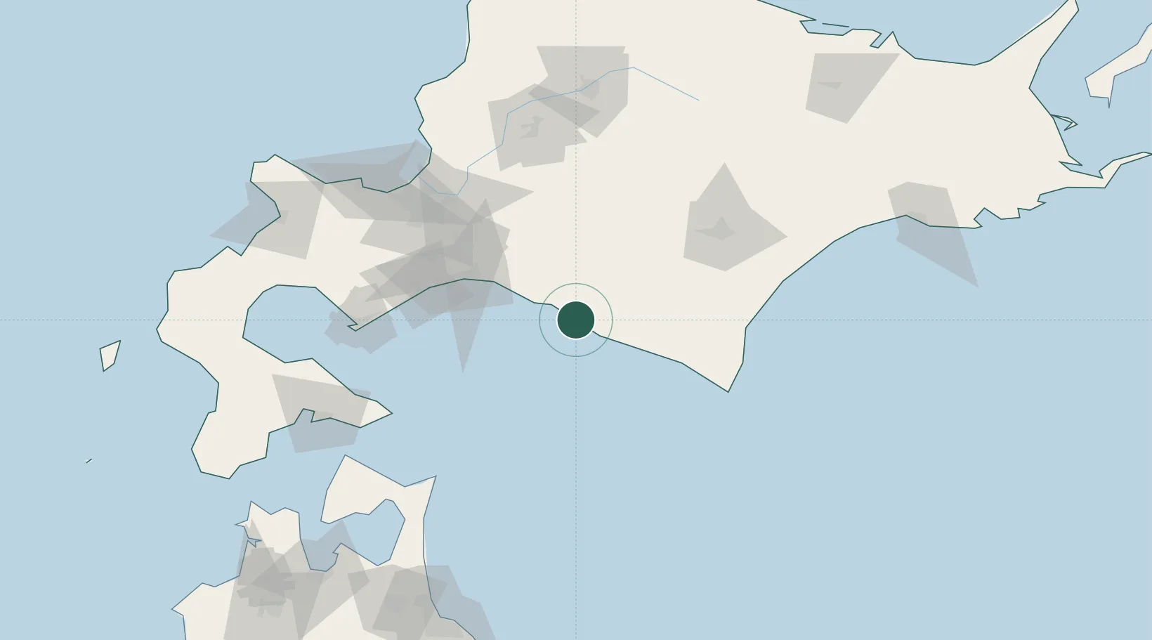
Nearby Logistics Neighbours

Cities
  1. 1Tomakomai54 km
  2. 2Noboribetsu95 km
  3. 3Iwamizawa104 km
  4. 4Sapporo111 km
  5. 5Muroran114 km
Nearest neighbours — logibook spatial index (haversine) over the source coordinates
Ports
  1. 1Tomakomai Ko63 km
  2. 2Tokachi82 km
  3. 3Muroran Ko111 km
  4. 4Ishikari Bay New Port127 km
  5. 5Wakkanai128 km
Nearest neighbours — logibook spatial index (haversine) over the source coordinates
Airports
  1. 1New Chitose Airport69 km
  2. 2JASDF Chitose Air Base71 km
  3. 3Tokachi-Obihiro Airport84 km
  4. 4Tokachi Airport90 km
  5. 5Sapporo Okadama Airport113 km
Nearest neighbours — logibook spatial index (haversine) over the source coordinates
DatabookThe Record of Consolidated Knowledge
Japan beyond logistics?
Browse databook

All Sources

LocationsUN/LOCODE
UN/LOCODE — free
LocationsGeoNames
CC BY 4.0
Portsthe NGA World Port Index
Public domain (US gov)
AirportsOurAirports
Public domain
Trade Zonesthe World Bank SEZ database
CC BY 4.0
Trade ZonesOpen Zone Map
CC BY
← Japan locations